
What's Happening?
A new study conducted by University of Hawaii at Manoa researchers, published in the International Journal of Climatology, indicates that while Hawaii is experiencing an overall drier climate, short, intense
downpours are becoming significantly stronger across the islands. This comprehensive analysis, spanning 50 years from 1966 to 2020 and utilizing hourly data from 117 rain gauges, reveals climate trends often missed by traditional 24-hour daily averages. The study found that common heavy rains (occurring every two years) are generally becoming less intense. However, severe storms lasting 1 to 3 hours, which typically occur only once every 20 to 100 years, are gaining intensity. Conversely, storms lasting 6 hours or longer are weakening more noticeably than shorter storms. Researchers also identified two peak vulnerability periods for extreme hourly rain events: October through December and February through March, driven primarily by cold fronts and kona lows.
Why It's Important?
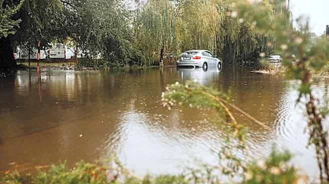
This research is critically important for Hawaii due to its unique mountainous terrain and susceptibility to flash flooding. The increasing intensity of short-duration, extreme rainfall events poses significant risks to public safety, infrastructure, and the environment. Steep watersheds can be overwhelmed rapidly, leading to sudden and dangerous flash floods before emergency alerts can be effectively issued. This trend necessitates updated strategies for emergency responders, county planners, and infrastructure design to mitigate the impacts of these more powerful, albeit shorter, storms. The findings challenge the conventional understanding of climate change impacts, highlighting that a general drying trend does not preclude more intense, localized rainfall. This nuanced understanding is crucial for developing effective climate adaptation strategies and protecting communities from the immediate and severe consequences of extreme weather.
What's Next?
The findings of this study will likely inform future climate adaptation and disaster preparedness efforts across the Hawaiian Islands. Emergency responders and county planners will need to re-evaluate existing protocols and infrastructure designs to account for the increased intensity of short-duration storms. This could include upgrading storm drain systems, improving early warning systems for flash floods, and developing more localized and rapid response plans. Infrastructure projects, such as roads and bridges, may require new engineering standards to withstand more powerful water flows. Furthermore, public awareness campaigns about the dangers of flash flooding and the importance of immediate action during intense rainfall events will become even more critical. The research also suggests a need for continued, high-resolution climate monitoring to track these evolving weather patterns and refine predictive models.
Beyond the Headlines
The study's revelation that rainfall trends can vary significantly even between neighboring areas, due to Hawaii's unique geography, underscores the complexity of climate change impacts. It highlights that climate models and adaptation strategies must be highly localized and granular to be effective. This research also contributes to a broader scientific understanding of how climate change manifests in different regions, particularly in tropical, mountainous environments. The unexpected finding of extreme events occurring near the end of the wet season (February-March) suggests that traditional seasonal expectations for severe weather may need to be revised. Ethically, this places a greater responsibility on policymakers and urban planners to prioritize resilient infrastructure and early warning systems, especially in vulnerable communities. The long-term implications include potential shifts in land use planning, agricultural practices, and water resource management to cope with both drier conditions and more intense, sporadic rainfall events.