


What's Happening?
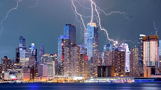
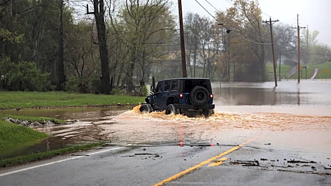
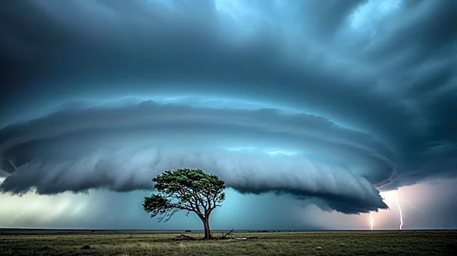
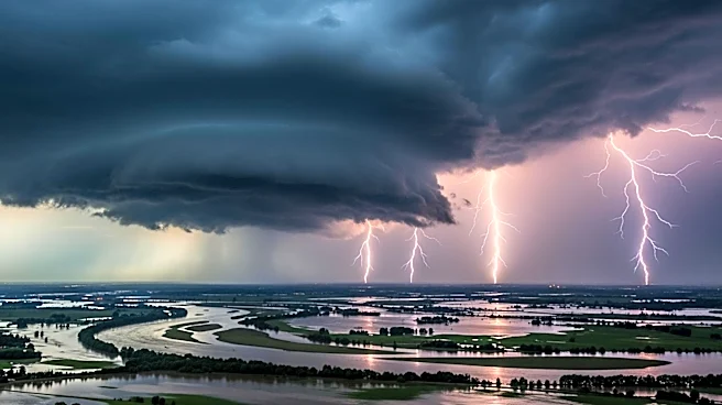
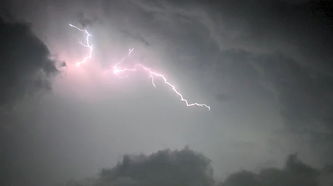
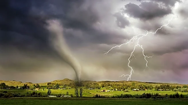
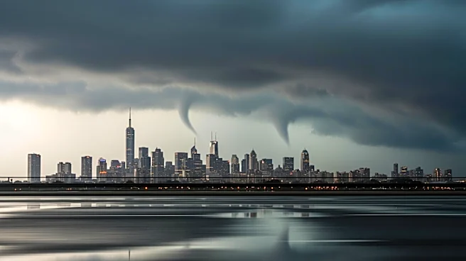
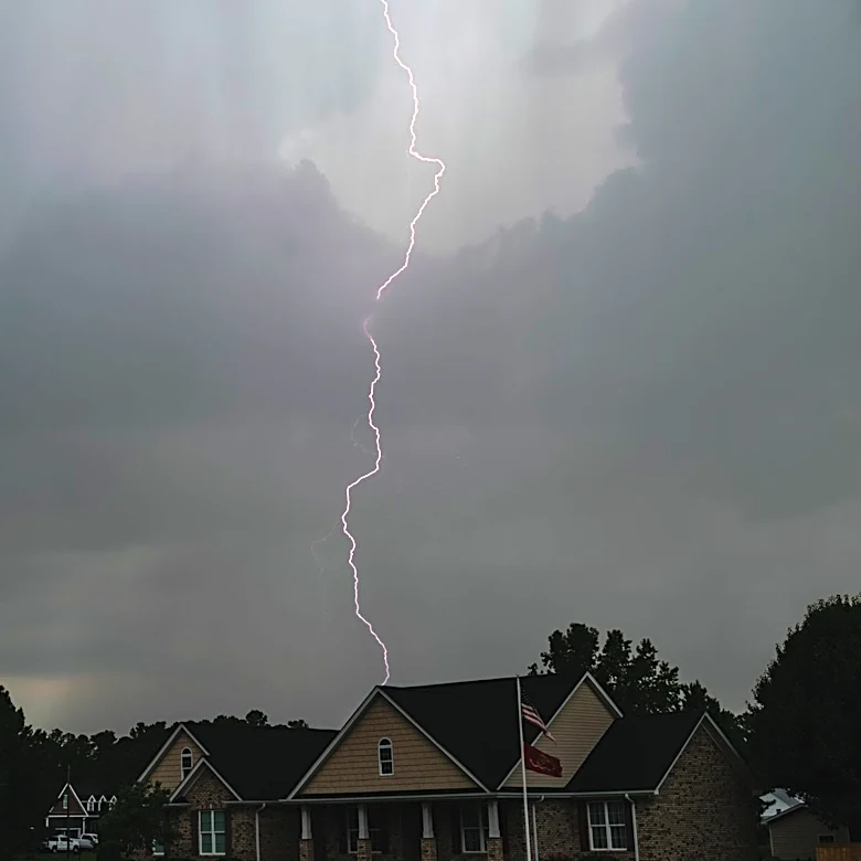
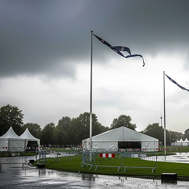
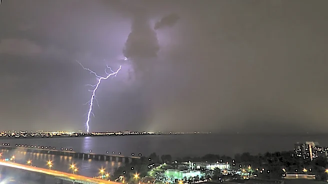
Severe weather is expected to impact the tri-state area, including New York City, on Monday evening. The forecast predicts heavy rain, frequent lightning, and damaging winds, with flash flooding being the primary concern. There is also a potential for tornadoes
as the storms intensify during the late afternoon and evening commute. The severe weather follows a period of pleasant conditions over the weekend, marking a significant shift in the region's weather pattern.
Why It's Important?
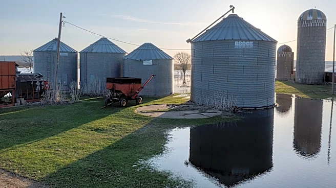
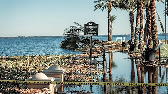
The anticipated severe weather poses significant risks to public safety and infrastructure in the densely populated tri-state area. Flash flooding can lead to dangerous travel conditions, property damage, and potential evacuations. The threat of tornadoes adds an additional layer of urgency, as these can cause widespread destruction and pose a direct threat to life. Emergency services and local authorities will need to be on high alert to respond to any incidents swiftly. The situation underscores the importance of preparedness and timely communication to mitigate the impact on residents and commuters.
What's Next?
Residents in the affected areas are advised to stay informed through local news and weather updates. Authorities may issue warnings or advisories as the situation develops, and it is crucial for individuals to heed these alerts. Emergency services are likely to be on standby to address any incidents resulting from the severe weather. The aftermath of the storms may require cleanup and recovery efforts, particularly in areas that experience significant flooding or wind damage.