


What is the story about?
What's Happening?
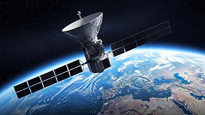
The NISAR satellite, a joint mission between NASA and ISRO, has sent its first radar images of Earth's surface, showcasing the capabilities of its L-band radar system. Launched under President Trump, NISAR aims to provide detailed information for disaster response, infrastructure monitoring, and agricultural management. The satellite's images demonstrate its ability to discern land cover types, aiding in environmental monitoring and resource management. The mission highlights the benefits of international collaboration in advancing space technology.
Why It's Important?
NISAR's radar imaging capabilities offer valuable insights into Earth's changing landscapes, supporting efforts to address environmental challenges and improve resource management. The collaboration between NASA and ISRO exemplifies the potential for international partnerships to enhance scientific research and technological innovation. The data provided by NISAR can inform decision-making in areas such as disaster response and agricultural planning, contributing to global sustainability efforts.
Beyond the Headlines
The successful launch and operation of NISAR underscore the importance of international cooperation in space exploration. The mission's ability to monitor Earth's surface with unprecedented detail can lead to advancements in environmental science and resource management. The partnership between NASA and ISRO sets a precedent for future collaborative efforts in space technology.