


What's Happening?
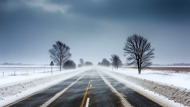
Sioux Falls, South Dakota, is bracing for a winter storm expected to bring mixed precipitation turning to all snow by Sunday morning. The city could see snow accumulations of 2 to 4 inches. Although blizzard warnings are currently north of Sioux Falls, they
may expand to include the city. Wind gusts are anticipated to reach 50 to 60 mph, leading to blowing snow and reduced visibility. This storm is part of a larger weather system affecting the northern Plains to the Great Lakes, with significant snow and wind impacts expected across the region.
Why It's Important?
The impending storm in Sioux Falls is part of a broader weather event impacting the northern United States, affecting approximately 14 million people. The high winds and snow could disrupt travel and daily activities, posing safety risks due to reduced visibility and potential road closures. The storm's impact on infrastructure and transportation could have economic implications, particularly in sectors reliant on logistics and supply chains. Additionally, the storm highlights the challenges of late-season winter weather, which can strain local resources and emergency services.
What's Next?
As the storm progresses, residents in Sioux Falls and surrounding areas should prepare for potential blizzard conditions. Local authorities may issue additional warnings or advisories as the situation develops. Residents are advised to stay informed through local news and weather updates and to take necessary precautions to ensure safety. The storm's trajectory and intensity will be closely monitored, with potential adjustments to forecasts and warnings as new data becomes available.