
What's Happening?
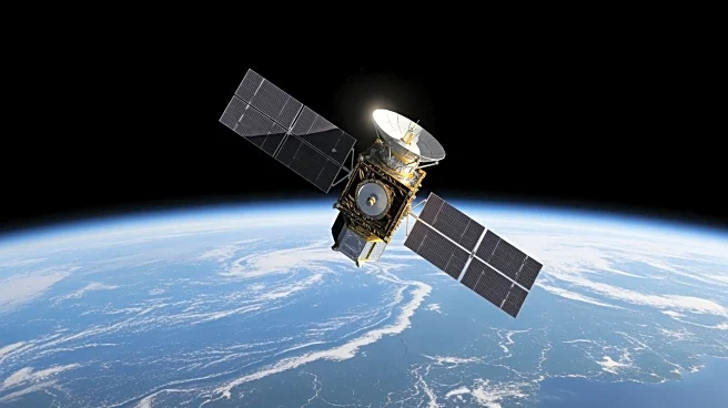
NASA, in collaboration with the French space agency CNES, has launched the Surface Water and Ocean Topography (SWOT) mission to measure the height of water across oceans, lakes, reservoirs, and rivers.
This mission utilizes a wide-swath radar instrument called KaRIn to provide global estimates of river discharge and suspended sediment. The satellite orbits Earth multiple times a day, offering comprehensive coverage that complements existing ground networks. This initiative marks the first-ever global estimate of river discharge and sediment from space, covering every river wider than 160 feet.
Why It's Important?
The SWOT mission is crucial for improving flood forecasting and water management. By providing space-based estimates of river discharge, the mission fills gaps where ground sensors are limited or absent. This data is vital for water utilities, irrigation planners, and reservoir managers to understand water availability and variability across different regions and seasons. The mission's ability to track suspended sediment also helps in assessing water quality and ecosystem health, making it a significant tool for environmental monitoring and management.