




What's Happening?
A 'Super El Niño' event is nearing record strength, significantly impacting weather patterns across the United States. Sea-surface temperatures in the central and eastern Pacific Ocean were 2.5 degrees Celsius above average in late October. NOAA's Climate
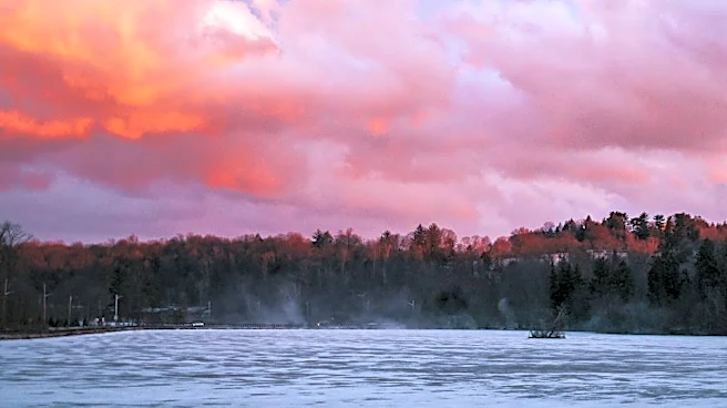
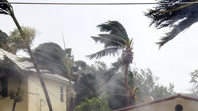
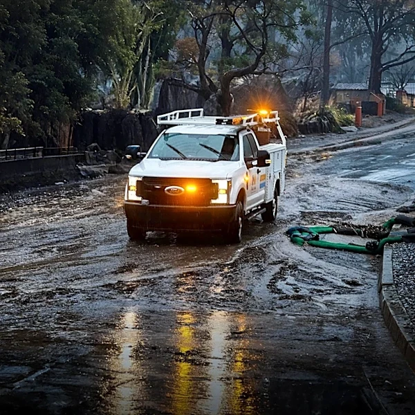
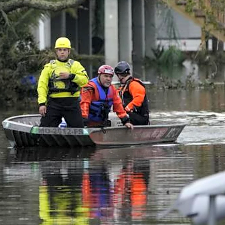
Prediction Center indicates a high probability for this El Niño to exceed the strength of previous events since 1950, potentially becoming the strongest in 1,000 years based on historical evidence. This powerful El Niño has already influenced the Atlantic hurricane season, limiting it to only one hurricane, the fewest on record since 1925. Its effects are now settling into typical winter patterns across the U.S., with recent events including major flash floods in the Desert Southwest, up to two feet of rain in the Florida Peninsula, and significant overnight flash floods in the mountains of northern Georgia and southeastern Tennessee. Conversely, many cities in the central U.S. have experienced a record warm and dry fall.
Why It's Important?
The near-record Super El Niño has profound implications for various sectors across the U.S. The increased precipitation in the southern U.S. and parts of the West, such as Utah, is providing crucial relief from drought conditions, which can benefit agriculture, water resources, and ecosystems. However, this relief often comes with the risk of severe flooding and landslides, posing threats to infrastructure, property, and human safety. The mild and dry conditions in the central U.S. could impact winter crop cycles and energy demands. The reduced Atlantic hurricane activity, while beneficial in terms of avoiding storm damage, also highlights the significant influence of El Niño on global weather systems. Understanding these patterns is critical for disaster preparedness, resource management, and economic planning across diverse regions of the country.
What's Next?
The typical winter pattern associated with El Niño, characterized by a warm North and wet South, is forecast to persist at least through February. This means continued drought improvement in areas like Utah, but also ongoing risks of heavy rainfall and potential flooding in the southern and western U.S. The mild conditions in the central and northern states are expected to continue, influencing energy consumption and outdoor activities. NOAA's ongoing monitoring and outlooks will be crucial for communities to prepare for and adapt to these evolving weather conditions. The long-term persistence of El Niño into early 2027 suggests that its influence will extend beyond the immediate winter, potentially affecting spring weather patterns and water availability.
Beyond the Headlines
The near-record Super El Niño event serves as a powerful illustration of natural climate variability and its interaction with broader climate change trends. While El Niño is a natural phenomenon, its increasing intensity raises questions about the potential amplification of such events in a warming world. Climate scientists emphasize that while El Niño can temporarily boost global temperatures, the primary driver of long-term warming remains human-induced greenhouse gas emissions. This event provides a real-time case study for understanding the complex dynamics of Earth's climate system and the challenges in distinguishing between natural cycles and anthropogenic impacts. The varied regional impacts—from drought relief to severe flooding—underscore the need for comprehensive, localized climate adaptation strategies that account for both short-term variability and long-term change.