
What's Happening?
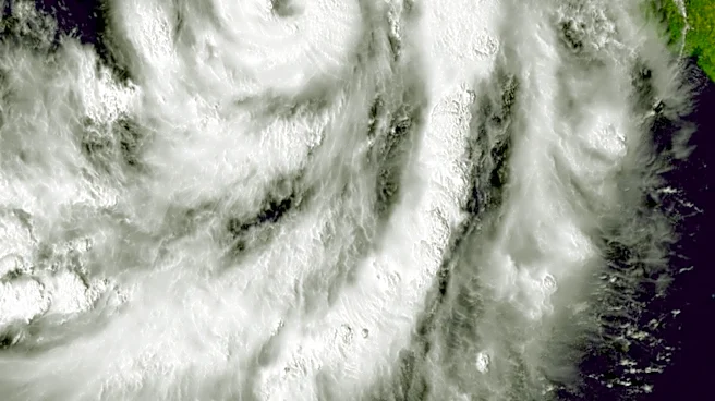
Southern California is preparing for a series of Pacific storm systems, with the first round bringing rain, thunder, and power outages to areas like Santa Monica. A more significant second storm is anticipated
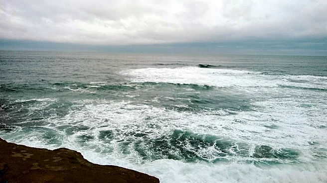
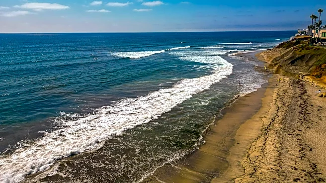
from Friday night into early Saturday, accompanied by a High Surf Advisory. This advisory warns of 7- to 12-foot waves and potential coastal flooding. Following a brief dry period on Sunday, two additional weaker, colder systems are expected to bring more rain from Sunday night through Wednesday. The National Weather Service has indicated a low chance of isolated moderate, flood advisory-level rain impacts for coastal areas of Santa Barbara, Ventura, and Los Angeles counties, which could lead to flooding in low-lying areas, minor mountain mudslides, and increased traffic accidents. A Beach Hazards Statement is in effect for Malibu and Los Angeles County beaches, transitioning to a High Surf Advisory through Tuesday.
Why It's Important?
The series of storms poses significant risks to Southern California's infrastructure and public safety. The combination of heavy rainfall and high surf increases the likelihood of coastal erosion, localized flooding, and dangerous rip currents, impacting coastal communities and potentially disrupting maritime activities. Power outages, as already experienced in Santa Monica, can affect thousands of residents and businesses, leading to economic losses and inconvenience. Increased traffic accidents due to wet roads and reduced visibility will strain emergency services and impact daily commutes. The continuous 'storm train' could also lead to saturated ground conditions, increasing the risk of mudslides in vulnerable mountainous regions, which could threaten homes and transportation routes. The need for residents to take precautions and for local authorities to manage these events effectively highlights the region's vulnerability to severe weather patterns.
What's Next?
The immediate focus is on managing the impacts of the second, heavier storm system expected Friday night into early Saturday, which will bring the highest waves and increased risk of coastal flooding. Emergency services and local authorities will be on alert to respond to power outages, traffic incidents, and potential flooding. Residents are advised to secure outdoor belongings, avoid driving through standing water, and stay away from dangerous coastal areas like rock jetties. After a brief respite on Sunday, two more storm systems are forecast to bring additional rainfall through Wednesday, maintaining cooler temperatures. This extended period of wet weather will require ongoing vigilance from both the public and emergency management agencies to mitigate potential hazards and ensure public safety across Southern California.
Beyond the Headlines
The recurring nature of these storm systems underscores broader climate patterns affecting California, potentially signaling a shift towards more intense and frequent weather events. While beneficial for drought relief, the rapid succession of storms can overwhelm urban drainage systems and natural landscapes, leading to cumulative damage. The emphasis on coastal hazards also highlights the ongoing challenge of coastal resilience in the face of rising sea levels and extreme weather, prompting discussions about long-term infrastructure investments and land-use planning in vulnerable areas. The preparedness and response to these events will serve as a critical test for regional emergency management strategies and community adaptability in an era of changing climate conditions, potentially influencing future policy decisions regarding urban development and environmental protection.