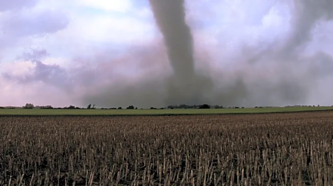


What's Happening?
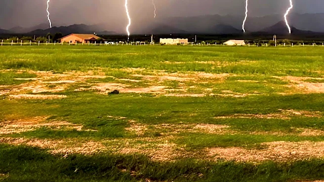
Minnesota is bracing for severe weather as a complex of storms with supercell characteristics approaches the state. The National Weather Service has issued a severe thunderstorm watch, warning of potential wind gusts reaching up to 100 mph. These conditions
are expected to impact northeastern South Dakota and northwestern Minnesota, with the possibility of large hail and tornadoes. The Storm Prediction Center has noted that the storm's intensity is comparable to an EF2 tornado, emphasizing the need for residents to remain vigilant and prepared for rapidly changing weather conditions.
Why It's Important?
The severe weather poses a significant threat to public safety and infrastructure in Minnesota. High winds and potential tornadoes can cause widespread damage to homes, power lines, and transportation networks. The agricultural sector may also be affected, with crops at risk of damage from hail and strong winds. Emergency services and local authorities are on high alert to respond to any incidents, highlighting the importance of community preparedness and effective communication during severe weather events.
What's Next?
Residents in the affected areas are advised to monitor weather updates and heed any warnings or advisories issued by local authorities. Emergency preparedness measures, such as securing outdoor objects and having a plan for shelter, are recommended. The situation will continue to be monitored by meteorologists, with further updates expected as the storm progresses.