

What's Happening?
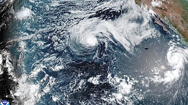
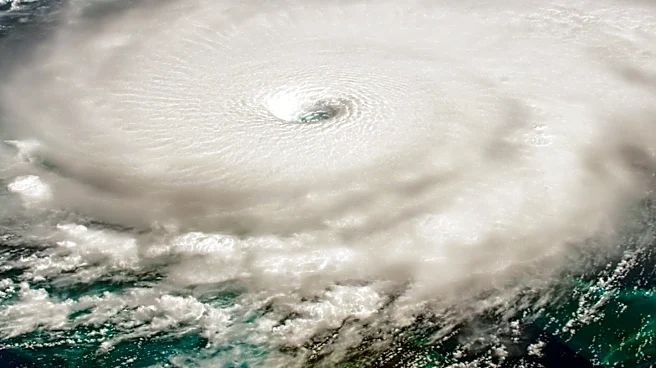
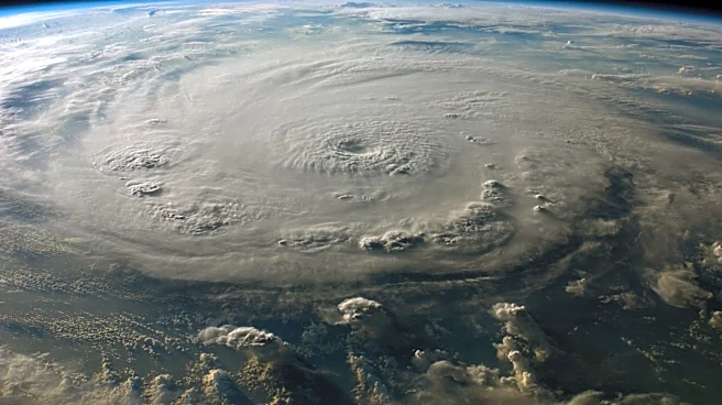
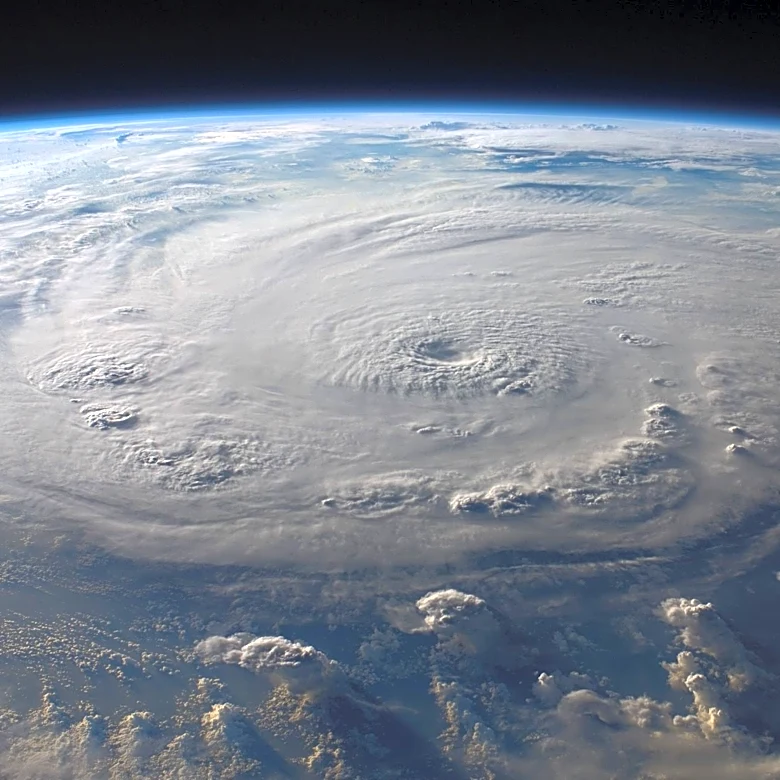
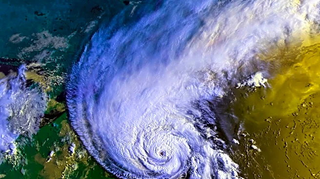
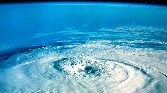
Hurricane Genevieve has intensified to a Category 5 hurricane in the Pacific Ocean, marking the first such storm in the East Pacific region in two years. The hurricane is currently located about 520 miles south-southwest of the southern tip of the Baja
California peninsula, moving northwest at 13 mph. With maximum sustained winds of 155 mph, Genevieve is expected to remain far from land, following a path parallel to the Mexican coast. Although no coastal watches or warnings are in effect, the National Hurricane Center warns of life-threatening surf and rip current conditions affecting parts of Mexico's southwestern coast and the Baja California peninsula.
Why It's Important?
The development of Hurricane Genevieve into a Category 5 storm underscores the potential for severe weather events in the Pacific region. While the hurricane is not expected to make landfall, its presence highlights the need for vigilance and preparedness in coastal areas that could be affected by its peripheral impacts. The storm's intensity also serves as a reminder of the broader implications of climate patterns and the importance of monitoring and understanding these systems to mitigate risks to life and property.
What's Next?
Genevieve is expected to fluctuate in intensity before weakening later in the week. The National Hurricane Center will continue to monitor the storm's progress and provide updates. Coastal communities in the affected regions are advised to stay informed about potential changes in the storm's path and intensity, and to heed any advisories related to surf and rip current conditions.