





What's Happening?
Maryland is experiencing a shift in weather patterns as the weekend concludes, with a drier forecast leading into the workweek. However, this respite will be short-lived as temperatures are expected to rise significantly by midweek. The First Alert Weather
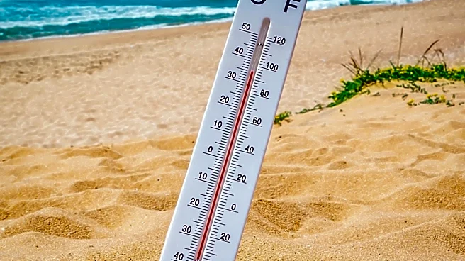
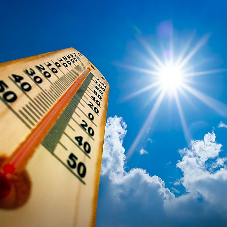
Team has indicated that temperatures could reach the upper 90s to near 100 degrees on Wednesday and Thursday. Although humidity levels are not expected to be as high as during the July 4th week, the heat index could still exceed 100 degrees, prompting potential Alert Days. The forecast suggests that the hot weather will begin to ease towards the end of the week, but there is a risk of gusty thunderstorms on Friday and Saturday.
Why It's Important?
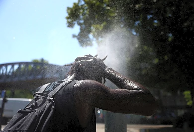
The anticipated heatwave in Maryland is significant as it poses potential health risks to residents, particularly vulnerable populations such as the elderly and those with pre-existing health conditions. High temperatures can lead to heat-related illnesses, including heat exhaustion and heat stroke. The forecasted heat index exceeding 100 degrees underscores the importance of taking precautions, such as staying hydrated and avoiding prolonged exposure to the sun. Additionally, the potential for thunderstorms later in the week could lead to localized flooding and power outages, further impacting the community.
What's Next?
As the heatwave approaches, local authorities and the First Alert Weather Team will likely issue updates and safety advisories to help residents prepare. Community centers and cooling stations may be set up to provide relief for those without access to air conditioning. Residents are advised to monitor weather updates and heed any warnings or advisories issued by local officials. The potential for thunderstorms later in the week also suggests that residents should be prepared for possible disruptions, such as power outages or travel delays.