



What's Happening?
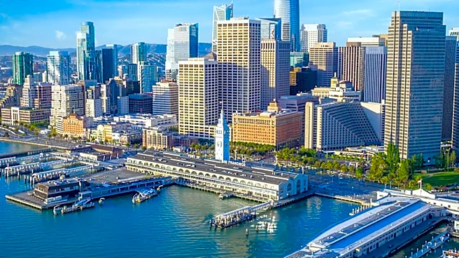
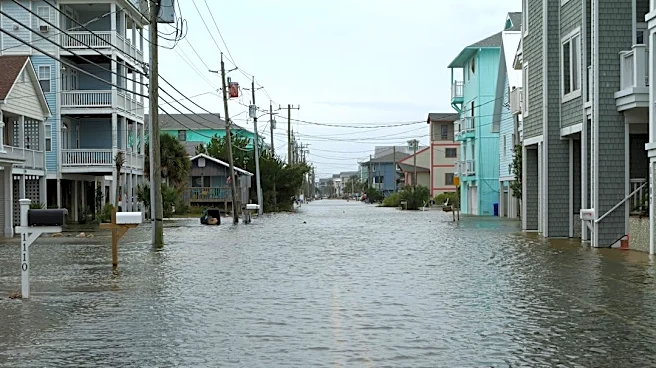
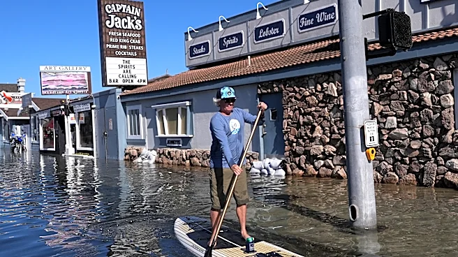
Climate experts and nonprofit organizations in the Bay Area are closely monitoring a combination of environmental factors, including El Niño, sea level rise, king tides, and warming ocean conditions, which are expected to significantly increase flood
risks this winter. Areas historically prone to flooding, such as low-lying sections of the Marin County shoreline, parts of the Peninsula, South Bay communities like Alviso, and significant stretches of the East Bay shoreline including Alameda and Oakland Airport, are identified as particularly vulnerable. The San Francisco Bay Conservation and Development Commission has developed maps to project potential impacts from these conditions, helping cities and counties plan for various scenarios. Nonprofit leader Shannon Parkhurst, with the Lemon Aide Project, is actively working to help residents prepare by encouraging emergency kits and evacuation plans, drawing on past experiences like the 1982 El Niño floods that submerged parts of Novato.
Why It's Important?
The heightened flood risk in the Bay Area carries significant implications for local communities, infrastructure, and the regional economy. Increased flooding could lead to widespread property damage, displacement of residents, and disruptions to transportation and essential services, including operations at Oakland Airport. Businesses in affected areas may face closures and financial losses, impacting local employment and economic stability. The ongoing efforts by climate scientists and planners to assess and map these risks are crucial for developing effective mitigation strategies and informing public policy. For residents, understanding these risks and preparing for potential events is vital for personal safety and property protection, highlighting the importance of community-led initiatives like the Lemon Aide Project in fostering resilience against climate-related challenges.
What's Next?
A Coastal Flood Advisory has been extended across the Bay Area, indicating immediate concerns regarding high tides and their contribution to flooding along California's coastline. Experts anticipate that the king tides experienced recently offer a preview of how sea level rise and El Niño-driven storms could combine to create more severe challenges throughout the winter. Cities and counties are expected to utilize the flood risk maps provided by the San Francisco Bay Conservation and Development Commission to refine their emergency response plans and infrastructure projects. Organizations like the Lemon Aide Project will continue their efforts to educate and prepare residents for potential flooding events, emphasizing the importance of emergency kits and evacuation strategies. Residents are encouraged to access interactive maps and preparedness information to understand their specific community risks.
Beyond the Headlines
The situation in the Bay Area underscores a broader national challenge concerning climate change adaptation and urban resilience. The combination of El Niño, sea level rise, and warming ocean conditions highlights the complex and interconnected nature of climate impacts, demanding integrated approaches to environmental management and urban planning. This scenario also brings to light the socio-economic disparities in vulnerability to climate disasters, as low-lying and historically underserved communities often bear a disproportionate burden. The proactive mapping and community engagement efforts in the Bay Area could serve as a model for other coastal regions in the U.S. facing similar threats, emphasizing the critical need for both scientific foresight and grassroots preparedness in building resilient communities against an evolving climate.