






What's Happening?
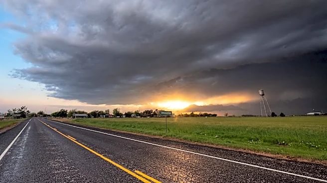
North Texas is under a severe weather risk for Monday night into Tuesday, as a cold front moves through the region. The Storm Prediction Center has issued a slight risk (level 2 of 5) to marginal risk (level 1 of 5) for severe weather across much of North Texas,
extending into the southern and central Plains. The primary threats include damaging straight-line winds, frequent lightning, hail, and the potential for brief tornado activity along the front's leading edge. Localized flooding is also a concern, with forecasting models indicating the possibility of 1.5 to 2 inches of rain in the metroplex and eastern counties. This volatile weather pattern follows dense fog advisories that affected parts of Texas and Oklahoma on Sunday morning.
Why It's Important?
This severe weather event poses immediate risks to residents and infrastructure in North Texas. Damaging winds and hail can cause significant property damage, power outages, and create hazardous driving conditions. The potential for brief tornadoes, though localized, carries a high risk of injury or fatality. Localized flooding can lead to road closures, disrupt commutes, and damage homes and businesses. For emergency services, this means increased demand for rescue operations and damage assessment. Businesses may experience operational disruptions, and the agricultural sector could face losses due to hail and strong winds. The timing of the storms, extending into Tuesday, could also impact voter turnout for Election Day, as residents prioritize safety and deal with potential weather-related challenges.
What's Next?
The severe weather is expected to develop Monday night and continue into early Tuesday morning. Showers are anticipated to taper off early Tuesday, with clearing skies and mild temperatures in the 70s by the afternoon. Following the front's passage, weather conditions are projected to improve significantly, with Wednesday expected to be a standout day featuring mostly sunny skies and mid-70s temperatures. A secondary cold front arriving late Thursday will bring cooler, more seasonal autumn temperatures by Friday. Residents are advised to stay informed through local weather alerts and take necessary precautions, such as securing outdoor items and having a plan for shelter during severe storms. The precise timing of the squall line may shift, so continuous monitoring of forecasts is recommended.
Beyond the Headlines
The recurring nature of severe weather events in Texas highlights the ongoing need for robust community preparedness and resilient infrastructure. The combination of dense fog preceding severe storms underscores the dynamic and sometimes unpredictable nature of regional weather patterns. This event also brings into focus the importance of effective communication and warning systems to ensure public safety. Beyond the immediate impact, such weather events can contribute to long-term discussions about urban planning, drainage systems, and the allocation of resources for disaster mitigation and recovery. The potential impact on Election Day also subtly points to how natural phenomena can influence civic participation and the logistical challenges involved in ensuring accessible voting during adverse conditions.