






What's Happening?
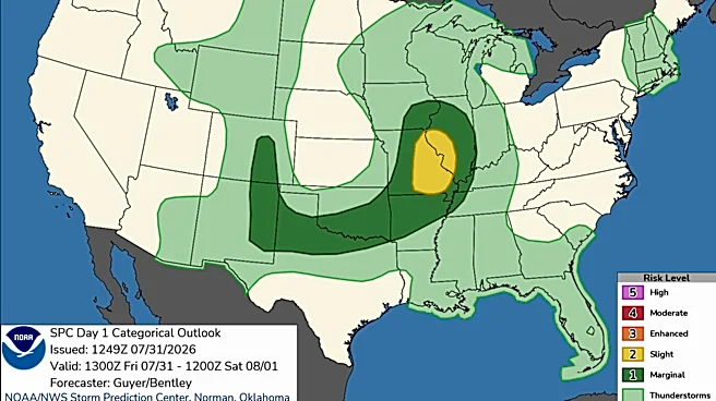
A flood watch has been issued for parts of New Mexico as storms bring heavy rain, hail, and strong winds. The watch is in effect from noon Saturday through midnight for areas including southern Lincoln County and Otero County. The storms are expected
to bring frequent lightning and localized heavy rainfall, with the potential for flash flooding in areas that experience multiple days of rain. While Sunday and Monday are forecasted to be drier, the risk of flash flooding remains in regions that receive repeated rounds of thunderstorms.
Why It's Important?
The flood watch highlights the potential for significant weather-related disruptions in New Mexico, particularly in areas prone to flooding. Flash floods can cause severe damage to infrastructure, homes, and businesses, and pose a risk to public safety. The situation necessitates preparedness measures from local authorities and residents to mitigate potential impacts. The ongoing storms also underscore the challenges of managing weather extremes, which are becoming more frequent due to climate change.
What's Next?
Residents in affected areas should stay informed through local news and weather updates, and be prepared to take action if flooding occurs. Authorities may need to implement emergency response measures, including evacuations and road closures, to ensure public safety. The situation also calls for long-term planning to enhance flood resilience and infrastructure in vulnerable areas, as well as increased public awareness and education on flood risks and safety measures.