


What's Happening?
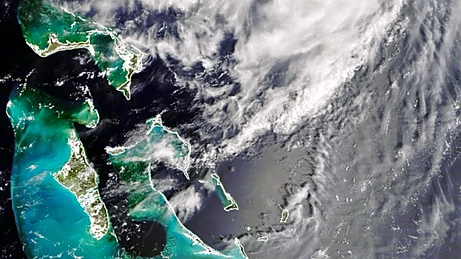
The National Hurricane Center has identified an area of interest off the southeast coast of Florida, which is expected to develop into a low-pressure system. This system has a 20% chance of evolving into a tropical cyclone over the next seven days. Regardless
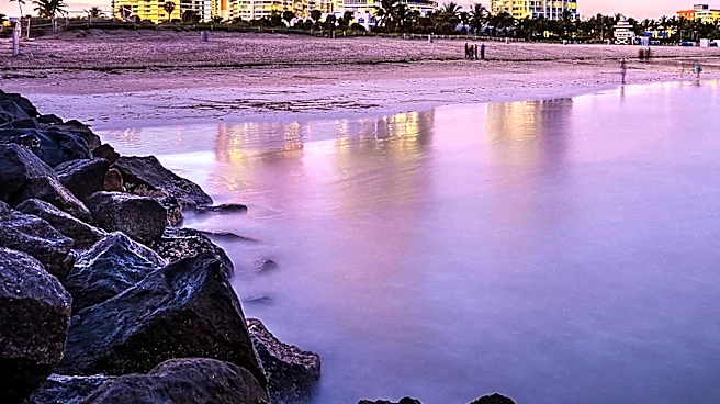
of its development into a tropical system, it is anticipated to bring significant rainfall to Central Florida, with the highest chances of rain occurring from Monday through Wednesday. The First Warning Weather team, including Chief Meteorologist Tony Mainolfi, is closely monitoring the situation and will provide updates as necessary.
Why It's Important?
The potential development of a tropical system off the coast of Florida is significant as it could impact weather conditions in Central Florida, particularly with increased rainfall. This could affect local communities, agriculture, and infrastructure, potentially leading to flooding in vulnerable areas. The situation underscores the importance of preparedness during the hurricane season, as even systems with low development chances can bring substantial weather changes. Residents and businesses in the region need to stay informed and ready to respond to any severe weather alerts.
What's Next?
The National Hurricane Center will continue to monitor the area of interest for any changes in its development potential. Residents in Central Florida should stay updated with the latest forecasts and prepare for possible heavy rainfall. Local authorities may issue advisories or warnings if the system strengthens or poses a greater threat. The First Warning Weather team will provide ongoing coverage and updates to ensure the public remains informed.