


What's Happening?
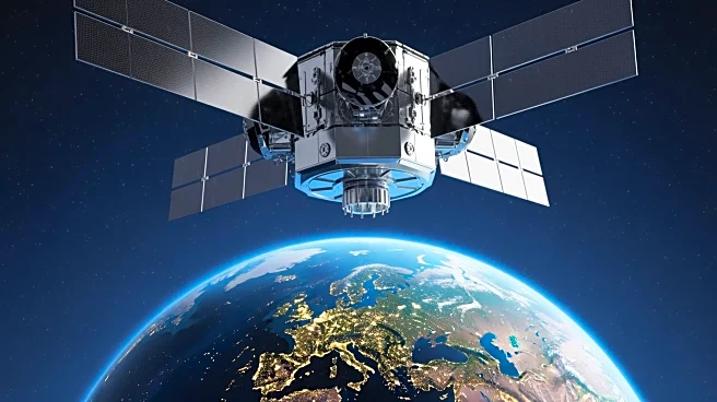
Landsat 9, launched in 2021, continues to build on the legacy of the Landsat program, which has provided over 50 years of continuous satellite data on Earth's land surface. The satellite features upgraded technology, including enhanced radiometric resolution
and improved signal-to-noise performance, allowing for more detailed and accurate observations. Landsat 9 works in conjunction with Landsat 8 and the European Space Agency's Sentinel-2 satellites to provide near-daily global observations. This collaboration enhances the ability to monitor environmental changes, track water and ice, and support scientific research and community planning.
Why It's Important?
Landsat 9's advanced capabilities are crucial for understanding and responding to environmental changes on a global scale. The data collected supports a wide range of applications, from agriculture and forestry to urban planning and disaster response. By providing high-quality, reliable data, Landsat 9 helps scientists and policymakers make informed decisions about resource management and environmental protection. The satellite's role in the Sustainable Land Imaging program ensures the continuity of critical Earth observation data, which is essential for addressing climate change and other global challenges.