






What's Happening?
Researchers, utilizing nearly three decades of data from NOAA Hurricane Hunter aircraft, have identified four key features that indicate when a tilted tropical cyclone is likely to become vertically aligned and intensify. Tropical cyclones typically need
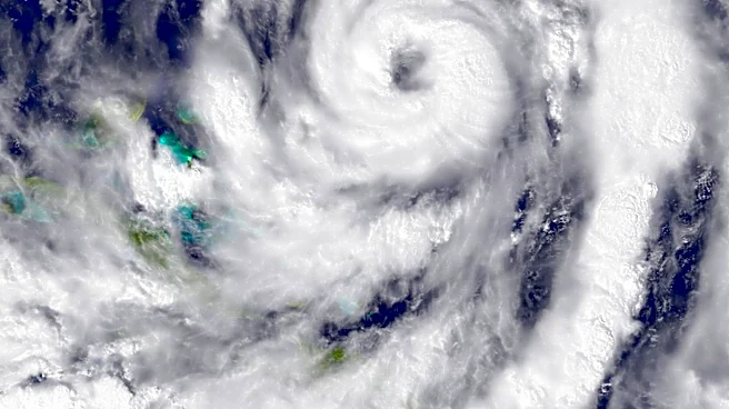
to achieve vertical organization, where their rotating centers at different atmospheric levels align, before they can significantly strengthen. The study, led by Michael S. Fischer from the University of Miami Rosenstiel School, found that successful alignment depends on a combination of the storm's internal structure, the direction of surrounding winds, and environmental conditions. The four identified signs are: a compact, tightly organized circulation near the ocean surface; a storm tilt favorably positioned relative to vertical wind shear; stronger rising air and heavier rainfall near the storm's lower-level center; and an environment with warm ocean water, ample atmospheric moisture, and weak middle-level winds. This research aims to provide forecasters with earlier clues about potential storm strengthening.
Why It's Important?
This research holds significant importance for U.S. coastal communities and emergency managers, as rapidly intensifying storms can leave very little time for preparation and evacuation. By identifying these four warning signs, forecasters may be able to predict storm intensification earlier, providing additional crucial time for decision-making regarding evacuations and other protective measures. This improved predictability can directly save lives and reduce property damage in regions frequently impacted by hurricanes, such as the Gulf Coast and the Atlantic seaboard. The study's findings also enhance the understanding of tropical cyclone dynamics, which is vital for refining hurricane forecasting models. More accurate and timely forecasts can lead to better resource allocation for disaster response and more effective public safety campaigns, ultimately strengthening the resilience of vulnerable U.S. coastal populations against severe weather events.
What's Next?
The newly identified features could potentially be integrated into high-resolution hurricane forecasting models to evaluate their accuracy in reproducing the physical processes of storm alignment and intensification. NOAA reconnaissance aircraft already collect many of the measurements highlighted by the study, such as low-level wind strength, storm size, thunderstorm coverage, and tilt direction. This means that the findings can be applied to real-time data to provide forecasters with additional clues about which disorganized tropical cyclones are transitioning into a structure more favorable for intensification. The research, published in the Journal of Geophysical Research: Atmospheres, will likely contribute to ongoing efforts by the National Science Foundation and NOAA to improve hurricane prediction capabilities. Future work may involve further validation of these signs in diverse storm scenarios and their operational implementation in forecasting centers to enhance lead times for warnings.
Beyond the Headlines
Beyond immediate forecasting improvements, this research delves into the fundamental physics of tropical cyclone behavior, offering a deeper understanding of how these complex systems evolve. The finding that thunderstorms developing near the lower-level circulation may actively contribute to a storm's organization, rather than merely being a symptom of it, represents a significant advancement in meteorological theory. This could lead to new avenues for research into storm modification or more nuanced approaches to understanding storm energy transfer. Ethically, providing earlier and more confident forecasts empowers communities to make better-informed decisions, potentially reducing the psychological and economic toll of last-minute evacuations. Culturally, a better understanding of hurricane behavior can foster greater public trust in scientific predictions and encourage proactive preparedness, shifting the narrative from reactive response to proactive resilience in hurricane-prone regions of the U.S.