
What's Happening?
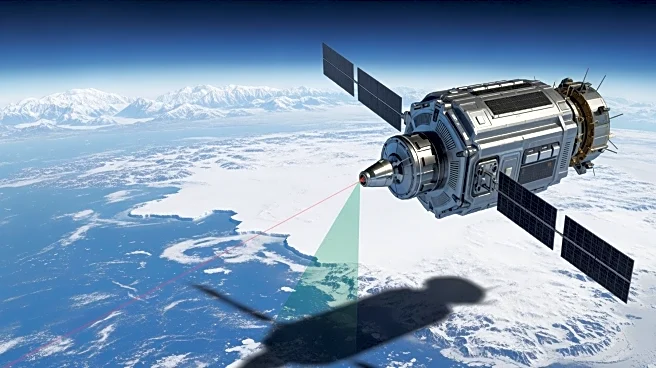
NASA and the Norwegian Mapping Authority are collaborating to develop a satellite laser ranging station near the North Pole. This station will provide high-precision locations of orbiting satellites, track
changes in ice sheets, and improve marine transportation and agriculture efficiency. The Arctic station will join a global network of space geodetic stations, which monitor Earth's size, shape, and orientation in space. This partnership leverages NASA's expertise in space geodesy, a field with a long history of satellite positioning and navigation.
Why It's Important?
The establishment of the Arctic laser-ranging station is significant for enhancing satellite navigation and tracking capabilities. It will contribute to better understanding of climate change impacts, particularly in polar regions, and improve the accuracy of satellite data used in various applications. The collaboration underscores the importance of international partnerships in advancing scientific research and technology, potentially leading to improved environmental monitoring and resource management.