
What's Happening?
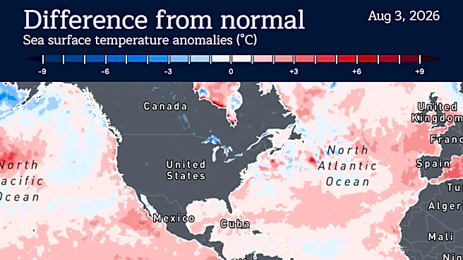
A powerful El Niño is developing, with scientists predicting it could become one of the strongest on record. This climate pattern, which officially formed in June, is expected to persist into late 2026, significantly impacting U.S. weather. El Niño typically
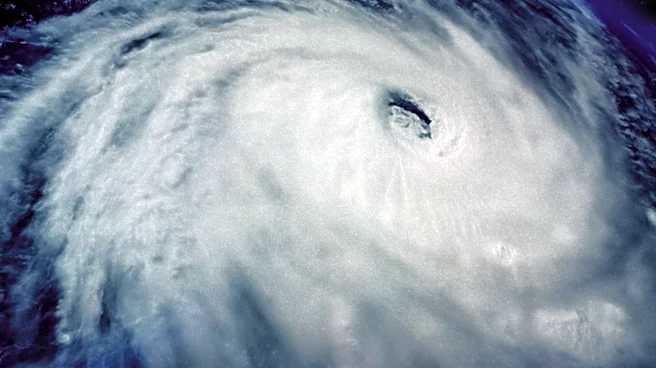
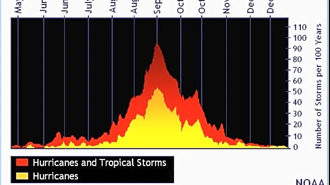
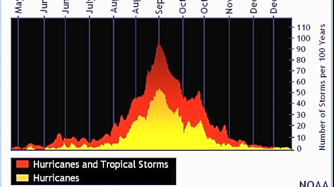
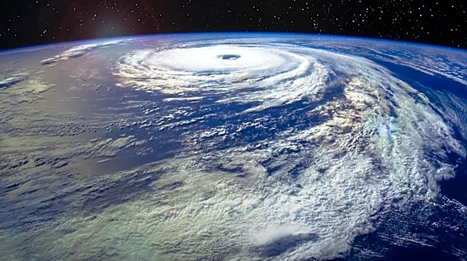
brings wetter conditions to the southern U.S., milder temperatures to the north, and suppresses Atlantic hurricane activity. The World Meteorological Organization and NOAA have highlighted the potential for increased storm activity in the southern U.S. and warmer conditions in northern regions.
Why It's Important?
The development of a strong El Niño has significant implications for U.S. weather, agriculture, and disaster preparedness. Increased precipitation in the southern U.S. could alleviate drought conditions but also raise the risk of flooding. Milder temperatures in the north may impact energy consumption and agricultural cycles. The suppression of Atlantic hurricanes could reduce the risk of storm-related damage along the East Coast. Understanding and preparing for these changes is crucial for policymakers, businesses, and communities to mitigate potential adverse effects.
What's Next?
As El Niño continues to develop, meteorologists and climate scientists will closely monitor its progression and impacts. Government agencies and local authorities may need to adjust disaster preparedness plans and resource allocations to address potential weather-related challenges. The agricultural sector may also need to adapt to changing weather patterns to ensure crop resilience. Ongoing research and monitoring will be essential to provide accurate forecasts and guidance for affected regions.