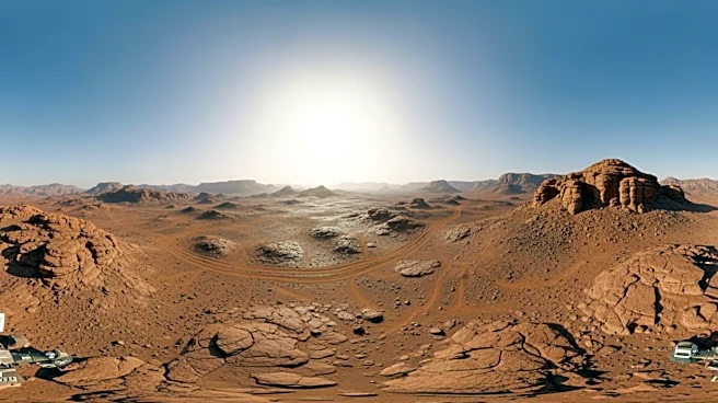


What's Happening?
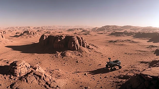
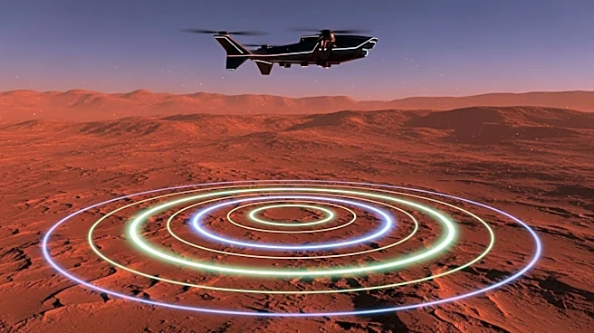
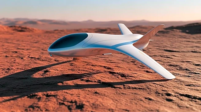
Researchers at the University of Arizona have developed a new drone technology equipped with ground-penetrating radar to improve Mars exploration strategies. This technology has been tested on Earth, specifically over glaciers in Alaska and Wyoming, which
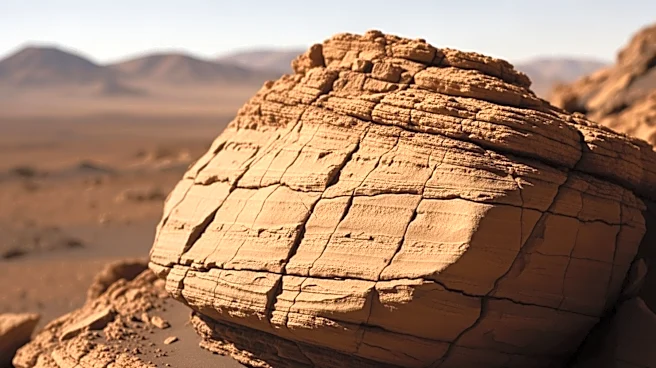
resemble Martian ice deposits. The drones can map the thickness of ice and detect layers of debris, providing detailed information about the subsurface. This advancement aims to complement existing orbital and rover missions by refining maps with high resolution and identifying promising drilling locations on Mars.
Why It's Important?
The development of this drone technology represents a significant advancement in planetary exploration. By providing detailed subsurface data, the drones can help identify potential resources such as water ice, which is crucial for future crewed missions to Mars. This could facilitate the production of drinking water, oxygen, and even food cultivation on the Red Planet. Additionally, understanding the distribution of ice deposits can offer insights into Mars' climate history and increase the chances of discovering signs of ancient life. The technology also exemplifies the potential for drones to enhance scientific missions beyond Earth.
What's Next?
The successful implementation of this technology on Mars could lead to more precise and efficient exploration missions. NASA and other space agencies may integrate drones into their mission plans, potentially accelerating the timeline for human exploration of Mars. The technology could also inspire further innovations in remote sensing and autonomous exploration tools. As the drones are deployed, researchers will continue to refine their capabilities and explore additional applications, potentially expanding their use to other celestial bodies with similar geological features.