



What's Happening?
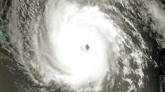
Meteorologists are closely monitoring two areas of interest in the Atlantic Ocean for potential tropical development. One area is located in the eastern Atlantic, where a tropical wave is expected to move from Africa into the ocean. This system has a medium
chance, estimated at 50%, of developing into a tropical storm over the next week. If it develops, it will be named Cristobal. The second area of interest is in the central Atlantic, southwest of the Cabo Verde Islands. This system has a lower development probability, with only a 20% chance over the next seven days. Meteorologists are using live interactive radar and other tools to track these systems and provide accurate forecasts to the public.
Why It's Important?
The potential development of these tropical systems is significant as it could impact weather patterns and safety in the Gulf Coast and other regions. Tropical storms and hurricanes can cause severe weather conditions, including heavy rainfall, strong winds, and flooding, which can disrupt communities and economies. Accurate forecasting is crucial for preparedness and response efforts, helping to mitigate potential damage and ensure public safety. The development of these systems could also influence insurance markets and emergency management strategies in affected areas.
What's Next?
Meteorologists will continue to monitor these systems closely, providing updates as conditions evolve. If either system develops into a tropical storm, it will be named Cristobal. The public is advised to stay informed through reliable weather updates and prepare for potential impacts. Emergency management agencies may issue alerts or advisories if the systems pose a threat to land areas.