






What's Happening?
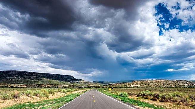
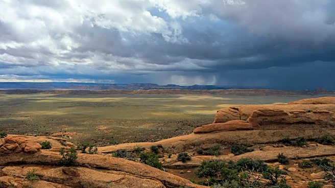
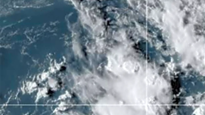
The remnants of Tropical Storm Vance are moving into southern New Mexico, bringing widespread rain and isolated thunderstorms, particularly in southern and eastern parts of the state. This moisture is expected to continue through Friday morning, with
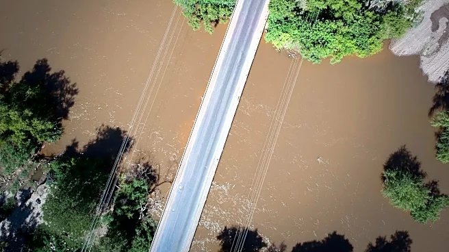
another round of rain arriving Friday night into early Saturday. The heaviest rainfall is anticipated from Sunday into Monday, affecting western and northern New Mexico, accompanied by mountain snow. While earlier forecasts predicted heavier rainfall totals, recent models suggest a slight reduction. Warmer temperatures will keep snow levels higher, reducing snowfall in northern mountains, though the San Juan Mountains in southern Colorado could still receive significant snow. Locally heavy rain could lead to flash flooding, especially in southeastern New Mexico, but the overall flood threat appears lower than previous weeks.
Why It's Important?
The influx of tropical moisture and subsequent rainfall in New Mexico carries implications for public safety and infrastructure. While the overall flood threat has reportedly decreased, the potential for localized flash flooding, particularly in southeastern New Mexico, remains a concern. Such events can lead to road closures, property damage, and disruptions to daily life. The combination of rain and mountain snow also affects water resources, potentially replenishing reservoirs but also increasing the risk of runoff and erosion. For agricultural sectors, the timing and intensity of rainfall are critical, impacting crop health and soil conditions. Residents and emergency services must remain vigilant to mitigate potential hazards.
What's Next?
Widespread rain and mountain snow are expected to continue through Monday, with the heaviest rainfall anticipated Sunday afternoon through Monday. Drier weather is forecast to return by Tuesday, though cooler temperatures will persist across New Mexico. The National Weather Service will continue to monitor the situation and provide updates. Residents are advised to stay informed about local weather advisories and exercise caution, especially when traveling. Emergency management agencies will likely be prepared to respond to any localized flooding or weather-related incidents. The impact on water levels and soil saturation will be assessed in the coming days.
Beyond the Headlines
The influence of tropical storm remnants on inland weather patterns highlights the interconnectedness of global weather systems. Even after a tropical storm weakens, its residual moisture can significantly impact regions far from its initial path. This phenomenon underscores the complexity of weather forecasting and the challenges in predicting the precise effects of such systems. The balance between beneficial rainfall for drought-stricken areas and the risk of flash flooding presents a critical dilemma for water management and urban planning. Understanding these dynamics is crucial for developing resilient communities in the face of evolving climate patterns.