


What's Happening?
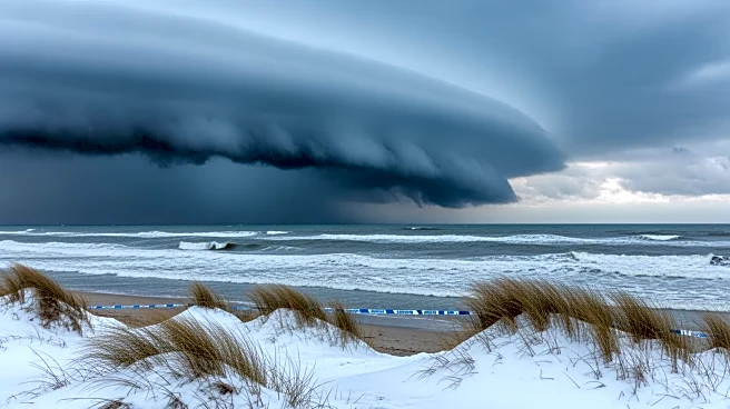
A powerful nor’easter is forecasted to hit the Mid-Atlantic and Northeast regions of the United States, bringing more than a foot of snow, blizzard conditions, and coastal flooding from Sunday through Monday. The storm is expected to cause dangerous travel
conditions, road closures, and flight and school cancellations, particularly from Delaware to Massachusetts. The storm's track has shifted closer to the coast, affecting approximately 80 million people in densely populated areas from Washington D.C. to Boston. Blizzard warnings have been issued for some areas, marking the first such warning in over four years.
Why It's Important?
The impending storm is significant due to its potential to disrupt daily life and economic activities across a large portion of the U.S. East Coast. The heavy snowfall and blizzard conditions could lead to power outages, property damage, and significant travel disruptions. For local governments and emergency services, the storm presents a challenge in terms of preparedness and response efforts. The economic impact could be substantial, affecting businesses, transportation, and infrastructure. Residents in the affected areas are advised to prepare for severe weather conditions and potential emergencies.
What's Next?
As the storm approaches, residents and authorities in the affected regions are preparing for its impact. Emergency services are on alert, and residents are advised to stock up on essential supplies and stay informed about weather updates. The storm is expected to undergo rapid intensification, known as bombogenesis, which could exacerbate its effects. The situation remains dynamic, and even slight changes in the storm's track could alter its impact. Authorities will continue to monitor the storm and provide updates as it develops.