




What's Happening?
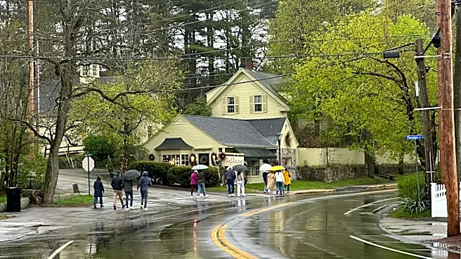
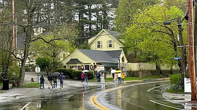
The Boston area is currently under a StormTeam 5 Weather Alert due to significant rain and gusty winds. This stormy weather, which began on Sunday, is expected to continue impacting the region into Monday. According to WCVB, rain will linger throughout
Monday before conditions gradually improve. Skies are anticipated to begin clearing on Tuesday afternoon, leading to more pleasant weather by Wednesday. A warming trend is forecast from Thursday through Friday, with temperatures reaching into the mid-70s. However, there is a chance of showers returning to Massachusetts on Saturday. The StormTeam 5 forecast indicates a high of 63 degrees Fahrenheit on Sunday, dropping slightly to 62 degrees on Monday, before rising to 68 on Tuesday, 72 on Wednesday, 77 on Thursday, and 76 on Friday, with Saturday seeing a high of 70 degrees.
Why It's Important?
This weather event is important for residents and businesses in the Boston area as it directly affects daily activities and local infrastructure. The gusty winds and rain can lead to travel disruptions, particularly for those commuting or planning outdoor activities. While the immediate impact on power outages was minimal during a recent nor'easter, sustained stormy conditions can still pose risks to utility lines and trees, potentially causing localized disruptions. For industries reliant on outdoor operations, such as construction or agriculture, the prolonged rain and wind could lead to delays and financial losses. The gradual improvement in weather conditions later in the week offers a positive outlook for recovery and a return to normal operations, but the initial days of the week require caution and preparedness from the public and local authorities.
What's Next?
Residents in the Boston area should anticipate continued impact weather on Monday, with lingering rain and gusty winds. The StormTeam 5 forecast indicates that conditions will begin to improve on Tuesday afternoon, with clearing skies. Wednesday is expected to bring pleasant weather, followed by a warming trend through Friday. However, there is a chance of showers returning on Saturday. Local authorities and utility companies will likely remain vigilant for any potential issues arising from the lingering weather, such as downed trees or minor power disruptions. Individuals are advised to stay updated with local weather alerts and adjust their plans accordingly, especially for outdoor activities or travel during the early part of the week.
Beyond the Headlines
The recurring nature of significant weather events in the New England region, such as this stormy period, highlights broader discussions around climate patterns and urban resilience. While this particular event is a typical weather system, its impact on a densely populated area like Boston underscores the importance of robust infrastructure and effective emergency preparedness. The ability of the region to manage such events with minimal power outages, as noted in a previous nor'easter, reflects ongoing investments in infrastructure and emergency response systems. However, the continuous need for weather alerts and the potential for disruptions serve as a reminder of the dynamic relationship between urban environments and natural phenomena, prompting ongoing considerations for sustainable development and climate adaptation strategies in coastal cities.