





What's Happening?
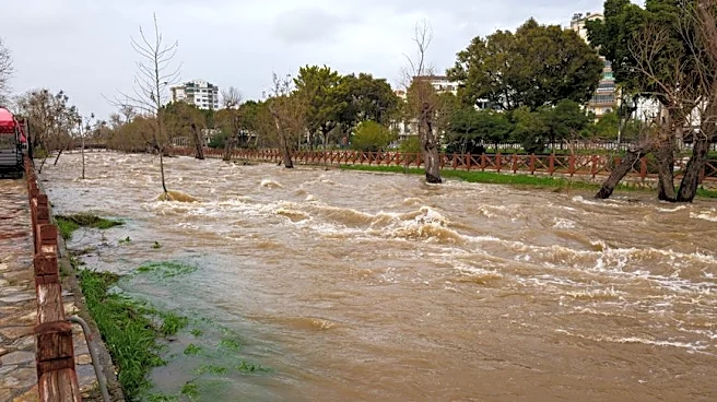
Dallas and North Texas are currently under a flood watch, effective from Wednesday afternoon through Friday morning, due to a multi-day storm system. Widespread rainfall totals of 2 to 4 inches are anticipated over a 24- to 48-hour period, with isolated
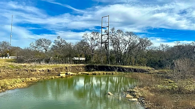
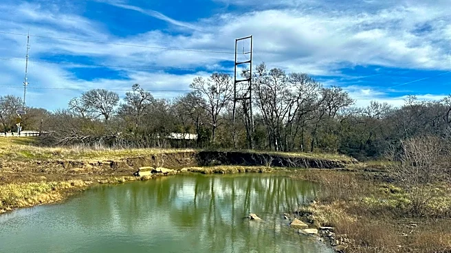
areas potentially receiving 5 to 6 inches. The ground in the region is exceptionally dry, which is expected to lead to rapid runoff and heighten the risk of localized flooding, particularly as storms may linger over the same areas. In addition to heavy rain, areas west of the metroplex face a marginal risk (level 1 out of 5) for severe weather, primarily gusty winds up to 60 mph and small hail. The tornado threat is considered very low. This weather system is also expected to bring relief from unseasonable heat, with a cold front arriving on Friday.
Why It's Important?
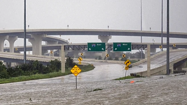
The impending heavy rainfall and potential flooding in Dallas carry significant implications for local infrastructure, daily commutes, and public safety. Rapid runoff due to dry ground conditions could quickly overwhelm drainage systems, leading to flash floods that disrupt transportation and potentially damage property. Businesses may experience operational delays, and residents could face hazardous driving conditions. The shift from unseasonable heat to cooler temperatures, while providing relief, also highlights the volatile nature of weather patterns and the need for preparedness. The marginal risk of severe weather, including strong winds and hail, could further impact agricultural interests and outdoor activities, underscoring the economic and social vulnerabilities to extreme weather events in urban and surrounding areas.
What's Next?
The flood watch is expected to continue through Friday morning, with scattered showers and thunderstorms developing throughout Wednesday afternoon, particularly west of Interstate 35W. Conditions will remain unsettled through Thursday and Friday as an upper-level system stalls to the west, bringing multiple rounds of precipitation. A cold front is slated to sweep through on Friday, which will clear the storms and usher in significantly cooler temperatures. Highs are projected to drop into the upper 70s and lower 80s by late week and into the weekend, with morning lows in the comfortable low to mid-60s. Scattered showers may linger into Saturday, but coverage is expected to decrease by Sunday, leading to a drier start to the following week.
Beyond the Headlines
The recurring pattern of intense rainfall following periods of drought, as seen in Dallas, points to broader climate trends that are increasing the frequency and severity of extreme weather events. The dry ground conditions, while initially seeming to absorb water, paradoxically contribute to rapid runoff and heightened flood risk once saturation points are reached, exacerbating the impact of heavy downpours. This phenomenon places increased strain on urban planning and infrastructure, necessitating more resilient drainage systems and updated flood mitigation strategies. Furthermore, the health implications of sudden temperature shifts and prolonged humidity, coupled with the psychological toll of potential property damage and disruption, underscore the multifaceted challenges communities face in adapting to a changing climate.