




What's Happening?
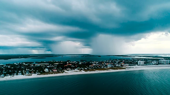
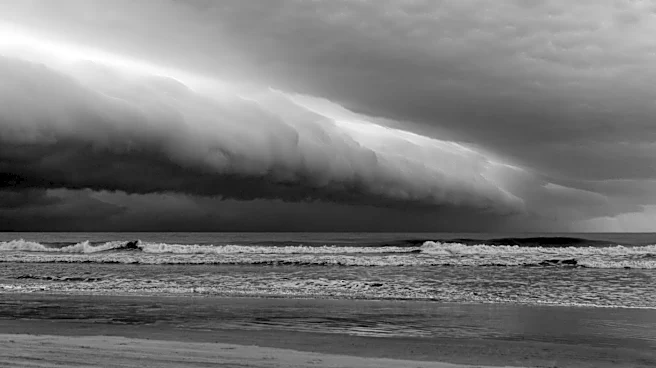
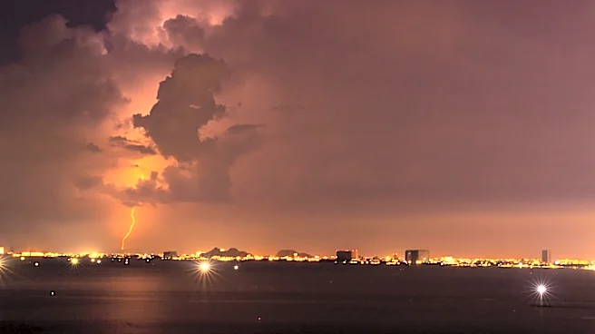
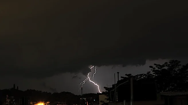
A weak cold front is expected to move through the Baton Rouge area this weekend, bringing isolated showers and thunderstorms, particularly north of the city. While the front will not significantly lower temperatures, it will cause a shift in wind direction
and a slight drop in humidity. This change will result in more comfortable conditions, with 'feels-like' temperatures dropping out of the alert range. The front is anticipated to settle near the Gulf Coast by Sunday, ending rain from north to south and allowing for dry conditions during the day.
Why It's Important?
The arrival of the weak cold front offers a brief respite from the intense heat and humidity typical of early August in Baton Rouge. While the temperature relief is minimal, the reduction in humidity can improve comfort levels for residents, particularly those engaging in outdoor activities. This weather pattern also highlights the region's vulnerability to sudden weather changes, emphasizing the importance of staying informed through reliable weather updates. The forecast serves as a reminder of the need for preparedness in the face of unpredictable weather conditions.
What's Next?
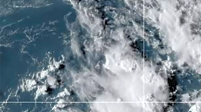
Following the passage of the front, residents can expect a temporary dip in humidity levels, with morning lows in the low 70s and afternoon highs in the mid-90s. However, typical heat and humidity are expected to return by mid-week, with rain coverage remaining low. Residents are advised to stay updated on weather conditions through local news and weather apps, especially if planning outdoor activities. The quiet conditions in the Gulf, Caribbean, and Atlantic suggest no immediate threat of tropical development, providing some reassurance for the region.