
What's Happening?
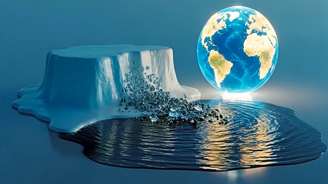
A recent study published in the Proceedings of the National Academy of Sciences has highlighted the significant impact of melting ice and ocean warming on global sea level rise. Researchers utilized satellite laser ranging to measure changes in Earth's gravity field, allowing them to track the addition of water mass to the oceans over time. The study found that from 1993 to 2022, barystatic sea level changes were primarily driven by the melting of ice and thermal expansion due to rising temperatures. The combined effects resulted in an average sea level rise of 3.16 millimeters per year, closely aligning with direct satellite measurements. This research underscores the importance of long-term monitoring to understand current sea level trends.
Why It's Important?
The rise in global sea levels poses a significant threat to coastal communities worldwide, leading to increased flooding, infrastructure damage, land erosion, and the salinization of freshwater supplies. The study's findings emphasize the urgent need for mitigation efforts, such as reducing greenhouse gas emissions and transitioning to renewable energy sources. The data provided by this research is crucial for validating climate models and projecting future sea level scenarios, aiding global leaders in preparing for the impacts of climate change.
What's Next?
Efforts to address sea level rise are focusing on mitigation strategies, including international agreements like the Paris Agreement aimed at reducing reliance on fossil fuels. The research offers valuable insights for policymakers to develop effective strategies to combat climate change and protect vulnerable coastal regions.
Beyond the Headlines
The study highlights the potential of satellite laser ranging as a powerful tool for long-term climate change studies, offering a comprehensive assessment of ocean mass changes and their impact on sea level budgets.