





What's Happening?
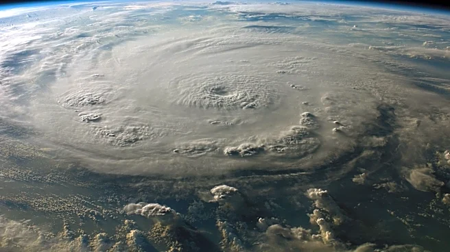
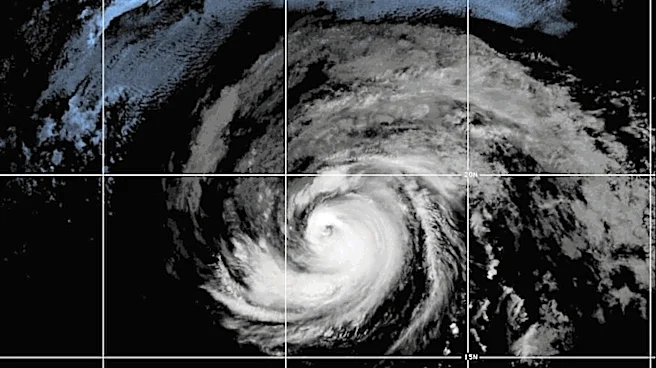
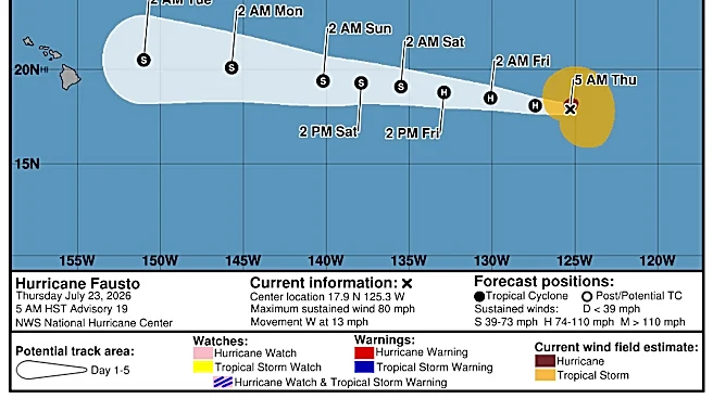
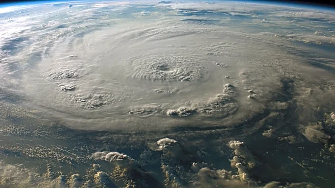
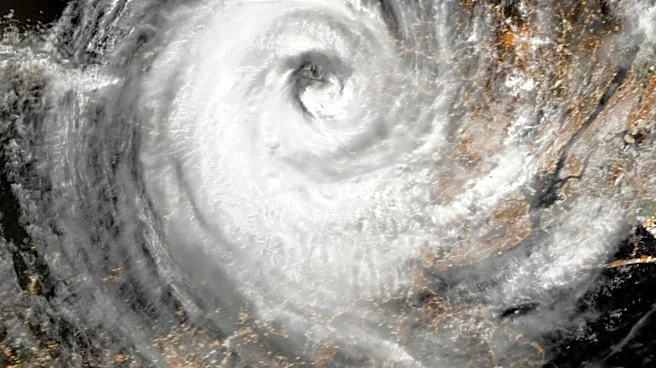
Hurricane Fausto, the first hurricane of the 2026 season to enter the Central Pacific Basin, is moving westward and is expected to approach the Hawaiian Islands early next week. As of the latest update, Fausto is located about 1,560 miles east of Hilo,
Hawaii, with maximum sustained winds of 105 mph. The National Weather Service has noted that while the hurricane's intensity has fluctuated, it remains a tropical cyclone. The storm is forecast to weaken gradually due to environmental conditions, including cooler sea surface temperatures and increasing wind shear. Despite the weakening trend, Fausto is expected to pass just north of the Hawaiian Islands, potentially bringing wind and rainfall impacts.
Why It's Important?
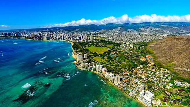
The approach of Hurricane Fausto poses a potential threat to the Hawaiian Islands, with risks of wind and rainfall impacts increasing. While the exact magnitude and location of these impacts are still uncertain, residents and stakeholders are advised to monitor the storm's progress closely. The hurricane's presence could disrupt local activities and necessitate preparedness measures, especially in coastal areas. The Hawaiian Islands, known for their tourism and natural beauty, could face challenges in maintaining safety and minimizing disruptions during the storm's passage.
What's Next?
As Hurricane Fausto continues its westward trajectory, the National Weather Service will provide ongoing updates to track its progress and potential impacts. Residents and businesses in Hawaii should prepare for possible adverse weather conditions and stay informed through official advisories. The storm's weakening trend is expected to continue, but vigilance is necessary to address any sudden changes in intensity or direction.