



What's Happening?
A persistent nor'easter is currently impacting Southern New England, bringing significant heavy rain and gusty winds. While the strongest winds are subsiding, the region will continue to experience breezy conditions on Sunday, with a decreasing risk of
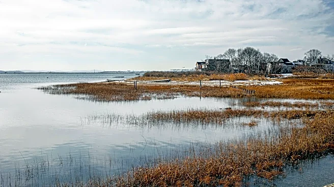
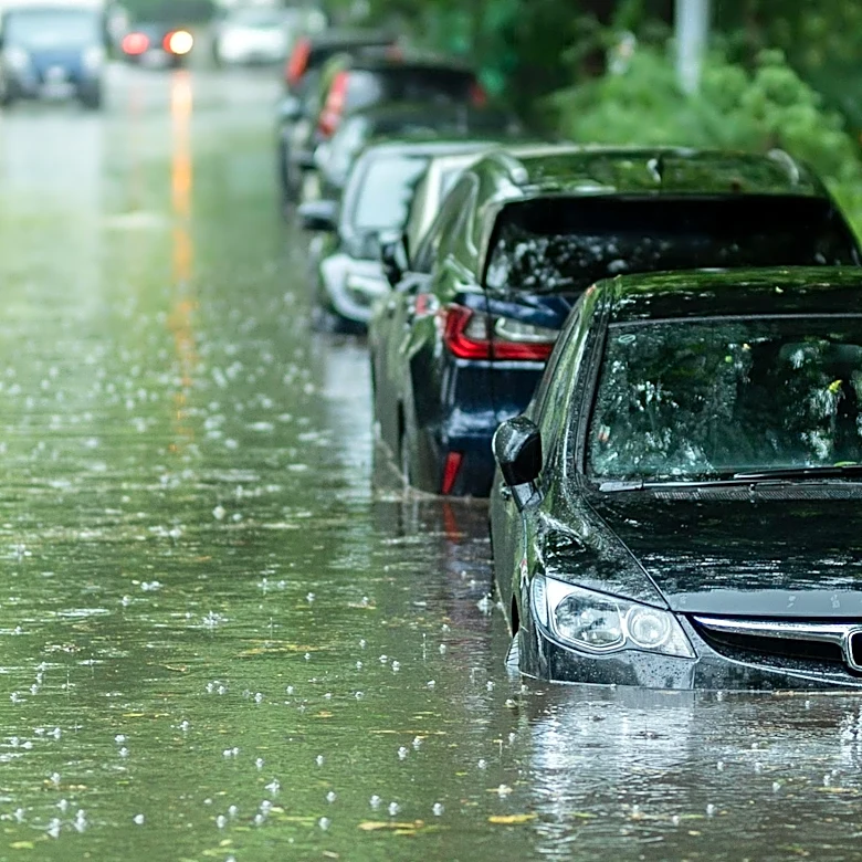
additional power outages. However, the rain is expected to persist intermittently until Tuesday morning, leading to a soggy forecast for the next few days. Many areas have already received 1 to 3 inches of rainfall, and an additional 2 to 4 inches are anticipated, potentially resulting in total rainfall amounts of 3 to 6 inches by Monday night. This magnitude of rainfall significantly increases the risk of flooding for streets, streams, and rivers. A Flood Watch remains in effect for all of Rhode Island and southeastern Massachusetts.
Why It's Important?
The ongoing nor'easter poses significant risks to infrastructure and public safety across Rhode Island and southeastern Massachusetts. The potential for widespread flooding can disrupt transportation, damage property, and lead to economic losses for affected communities. Power outages, though decreasing, still impact thousands of residents, highlighting vulnerabilities in the region's energy grid. The prolonged rainfall and coastal inundation due to astronomically high tides and storm surge also threaten coastal ecosystems and properties. For businesses, disruptions can range from supply chain interruptions to decreased consumer activity. Emergency services are under increased strain, and residents are urged to take precautions, underscoring the broader societal impact of severe weather events and the need for robust disaster preparedness.
What's Next?
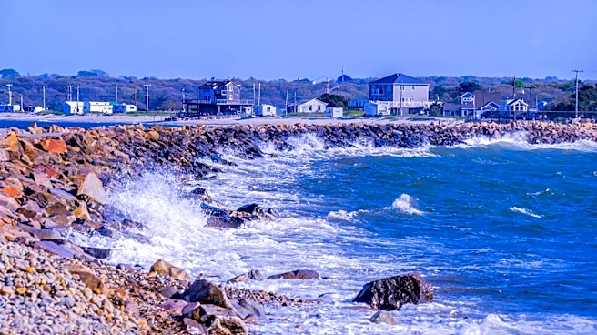
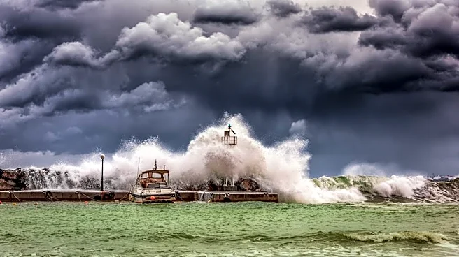
The nor'easter is expected to continue bringing on-and-off bands of rain through Monday evening. While lighter rain is anticipated as the storm weakens on Sunday evening and into Monday, the persistent rainfall will not fully cease until the low-pressure system moves northeast of the region by Monday night into Tuesday morning. Residents should remain vigilant for continued flooding risks, especially in low-lying areas and near waterways. Coastal areas are advised to avoid the immediate coastline due to dangerous crashing waves and splashover. Maritime conditions will remain hazardous throughout the weekend, with a Storm Warning and Gale Warning in effect, impacting sea travel. Authorities will continue to monitor weather conditions and provide updates, and residents should follow local advisories.
Beyond the Headlines
The recurring nature of severe weather events like this nor'easter in the Northeast raises deeper questions about climate resilience and urban planning. The vulnerability of coastal communities to storm surges and high tides, exacerbated by rising sea levels, suggests a long-term need for adaptive strategies, including infrastructure improvements and land-use planning. The strain on power grids and emergency services during such events also highlights the importance of investing in resilient energy systems and robust disaster response mechanisms. Furthermore, the economic impact on local businesses and the disruption to daily life underscore the broader societal costs of climate change and the imperative for comprehensive strategies to mitigate its effects and adapt to a changing environment.