




What's Happening?
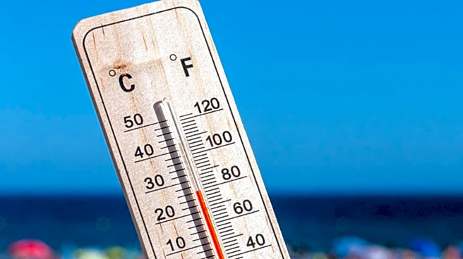
North Texas is experiencing a significant heat wave, with temperatures expected to rise into the 90s by lunchtime and peak at 98 degrees by 5 p.m. A southerly wind is contributing to increased moisture, pushing the heat index into the triple digits. A strong
ridge of high pressure is forecasted to build throughout the week, driving temperatures above 100 degrees by midweek. Heat index values are anticipated to range from 100 to 115 degrees, potentially leading to heat alerts. The region will remain mostly dry and sunny, with only a 10% chance of isolated showers or storms north of I-20 due to a low-pressure system in the Permian Basin.
Why It's Important?
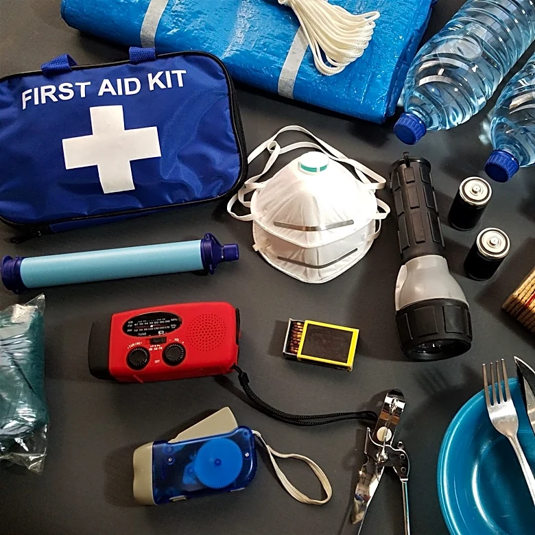
The rising temperatures in North Texas highlight the challenges posed by extreme weather conditions, particularly in urban areas where heat can exacerbate health risks. The anticipated heat wave could strain local infrastructure, increase energy demand, and pose health risks to vulnerable populations, including the elderly and those without access to air conditioning. The situation underscores the importance of public health advisories and preparedness measures to mitigate the impact of extreme heat. Residents are advised to stay hydrated and take frequent breaks in air-conditioned environments to avoid heat-related illnesses.
What's Next?
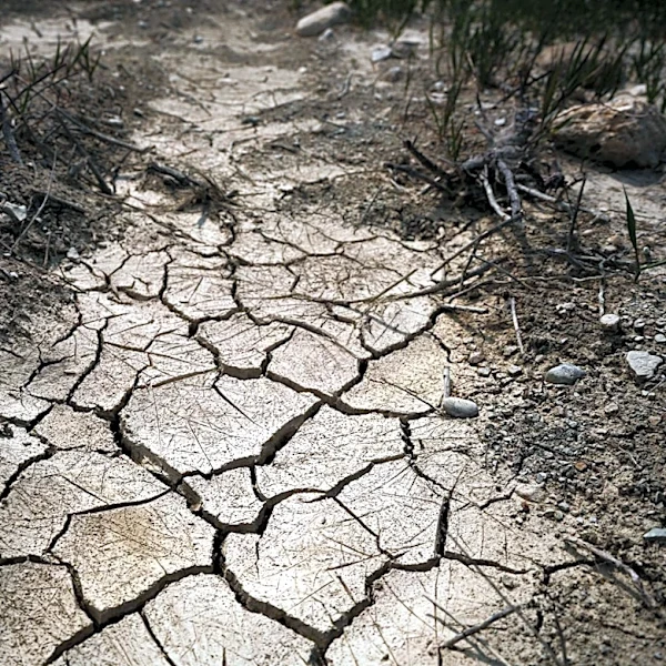
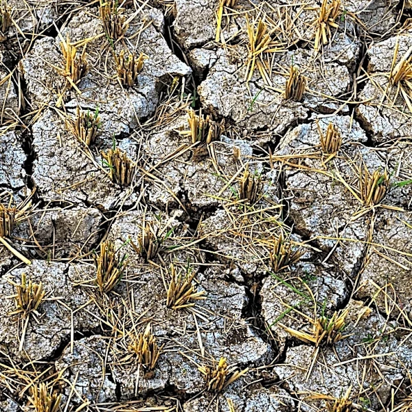
As the heat wave progresses, local authorities may issue heat alerts to inform and protect the public. Residents should monitor weather updates and heed any advisories issued by meteorologists and local officials. The continuation of dry and sunny conditions could also impact water resources and agricultural activities in the region. Community organizations and local governments may need to coordinate efforts to provide cooling centers and other resources to assist those most affected by the heat.