






What's Happening?
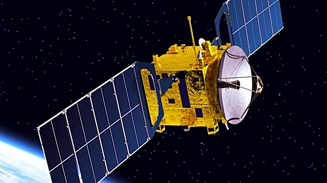
The Railroad Commission of Texas (RRC) has partnered with B3 Insight and SatSense to integrate satellite-based ground-motion data into its Underground Injection Control (UIC) program across the Permian Basin. This new system combines interferometric synthetic
aperture radar (InSAR) measurements with subsurface injection data from B3 Insight's OilfieldH2O platform. The primary goal is to enable regulators to compare surface deformation with injection activity and geological conditions throughout the basin. This initiative aims to provide a more comprehensive understanding of injection risk by allowing for the assessment of surface movement alongside subsurface injection activity, rather than analyzing these datasets separately. The platform will continuously update ground-motion information as new satellite acquisitions are processed, enhancing the RRC's ability to monitor and manage underground injection operations.
Why It's Important?
This new satellite monitoring system is crucial for enhancing the safety and environmental oversight of oil and gas operations in the Permian Basin, a critical energy production region in the U.S. By providing real-time, integrated data on ground motion and injection activities, the RRC can more effectively identify and mitigate potential risks associated with underground injection, such as induced seismicity or ground subsidence. This proactive approach can help prevent environmental damage, protect infrastructure, and ensure the long-term sustainability of energy production in the region. For energy companies, this means increased regulatory scrutiny but also clearer guidelines and potentially reduced operational risks if issues are identified early. The integration of advanced technology like InSAR into regulatory frameworks sets a precedent for how other U.S. energy-producing regions might adopt similar measures to improve environmental stewardship and operational safety.
What's Next?
The RRC will utilize this enhanced data to support its permitting, monitoring, and long-term planning for underground injection operations in the Permian Basin. The continuous updates from satellite acquisitions will allow for dynamic adjustments to regulatory strategies and operational guidelines. This partnership is expected to lead to more informed decision-making regarding injection well permits and operational parameters, potentially influencing the pace and methods of oil and gas extraction in the region. Stakeholders, including energy companies and environmental groups, will likely observe the effectiveness of this new system in addressing injection-related concerns. The success of this program could also encourage its expansion to other basins within Texas or inspire similar initiatives in other U.S. states with significant underground injection activities.
Beyond the Headlines
The adoption of satellite-based monitoring by the RRC signifies a broader trend towards leveraging advanced geospatial technologies for environmental regulation and resource management. This move highlights the increasing demand for transparency and accountability in industrial operations, particularly in environmentally sensitive areas. Ethically, it underscores the responsibility of regulatory bodies to employ the best available technology to protect public safety and natural resources. Legally, the data collected could serve as critical evidence in cases of environmental non-compliance or disputes related to ground deformation. Culturally, it represents a shift towards more data-driven governance, where scientific measurements and technological insights play a central role in policy formulation and enforcement within the U.S. energy sector.