
What's Happening?
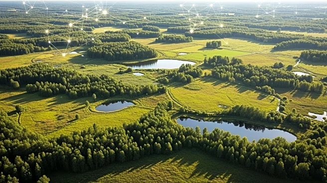
A study has combined K-fold cross-validation with Bayesian hyperparameter optimization to improve the accuracy of land cover and land use classification. The research utilized the EuroSat dataset, employing
the ResNet18 architecture for classification tasks. The study focused on optimizing hyperparameters such as learning rate, dropout rate, and gradient clipping threshold to enhance model performance. The integration of K-fold cross-validation improved the exploration of the search space, leading to better hyperparameter tuning and increased classification accuracy.
Why It's Important?
The advancement in land cover classification is significant for environmental monitoring and management. Accurate classification of land use and cover can aid in resource allocation, urban planning, and conservation efforts. The use of AI techniques in remote sensing enhances the precision and reliability of classification tasks, providing valuable insights for policymakers and researchers.
What's Next?
Future research may focus on expanding the dataset and refining the machine learning models to improve accuracy and applicability across different geographic regions. The integration of AI techniques in environmental monitoring could be explored, assessing its impact on resource management and conservation efforts. Additionally, the study suggests the potential for using AI in other areas of remote sensing and environmental analysis.
Beyond the Headlines
The ethical implications of AI in environmental monitoring, such as data privacy and the potential for bias in AI models, need to be addressed. Ensuring that AI systems are transparent and accountable is essential for gaining trust from both researchers and policymakers. Long-term, AI could revolutionize environmental monitoring by providing detailed data analysis and insights.