
What's Happening?
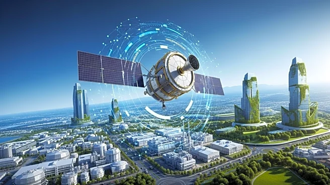
Satellite imagery is becoming a transformative tool for manufacturers, offering real-time monitoring and insights that enhance operational efficiency and sustainability. This technology allows manufacturers to track assets, forecast risks, and optimize decision-making processes. Applications include precision farming, where satellite data helps improve crop yields and reduce environmental impact, and supply chain management, where it aids in logistics and risk assessment. The use of satellite imagery is expanding across various sectors, providing manufacturers with a competitive edge in market intelligence and environmental compliance.
Why It's Important?
The integration of satellite imagery into manufacturing processes represents a significant advancement in industrial operations. It enables manufacturers to operate more sustainably by reducing resource use and emissions, aligning with increasing environmental regulations and consumer expectations. Additionally, the ability to monitor supply chains and infrastructure in real-time helps prevent disruptions and optimize logistics, leading to cost savings and improved efficiency. This technology also supports strategic planning by providing insights into market trends and resource availability.
Beyond the Headlines
The use of satellite imagery in manufacturing highlights a broader trend towards data-driven decision-making and the adoption of advanced technologies in traditional industries. This shift not only enhances operational capabilities but also promotes a culture of innovation and sustainability. As manufacturers continue to leverage satellite data, they contribute to a more resilient and environmentally conscious industrial landscape.