


What's Happening?
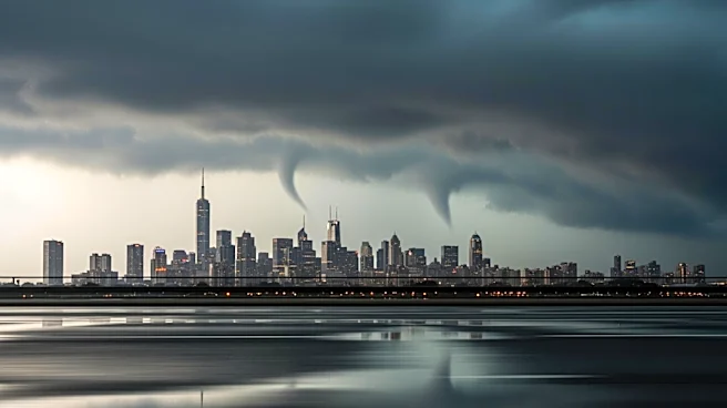
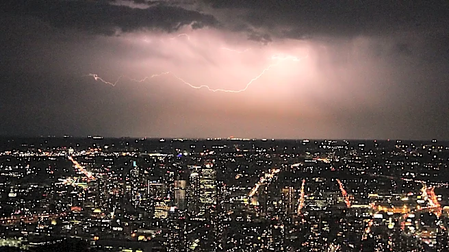
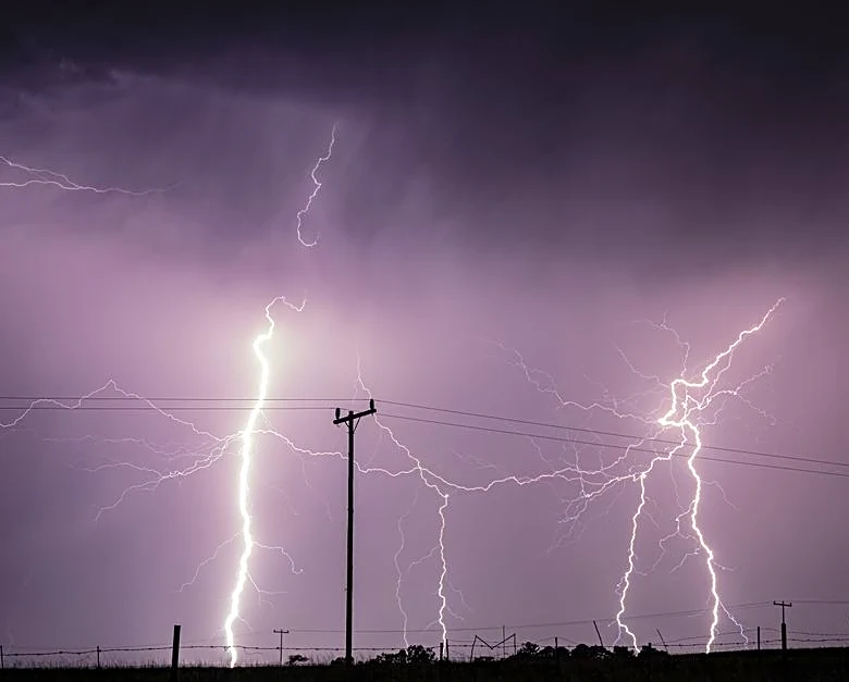
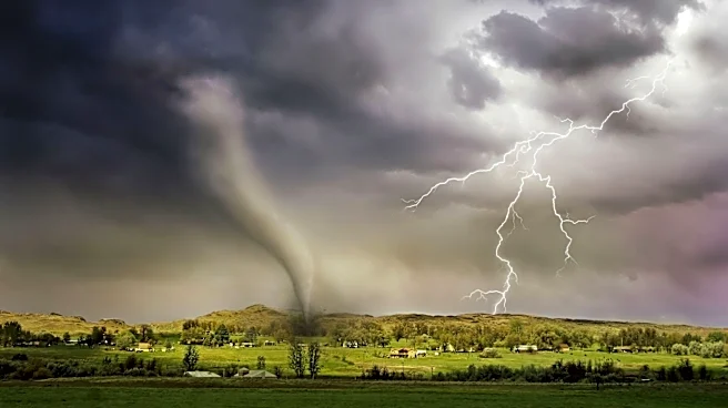
The National Weather Service has issued warnings for severe thunderstorms across portions of New York, particularly affecting western and central regions including Rochester and Buffalo. These storms are expected to bring damaging winds, large hail, and the possibility
of isolated tornadoes. The forecast indicates multiple rounds of showers and storms throughout the day, with the greatest risk in western New York and the Finger Lakes area. Scattered thunderstorms are also anticipated in central New York, including Syracuse, with potential for strong wind gusts. Motorists are advised to prepare for reduced visibility and ponding water on roadways during heavy downpours.
Why It's Important?
The severe weather poses significant risks to public safety and infrastructure in the affected areas. Damaging winds and hail can lead to property damage, power outages, and disruptions in transportation. The potential for tornadoes, although isolated, adds a critical level of urgency for residents to stay informed and prepared. Such weather events can strain emergency services and impact local economies, particularly if infrastructure is damaged or if there are prolonged power outages. The warnings highlight the need for communities to have emergency plans in place and for individuals to stay updated on weather developments.
What's Next?
Residents in the affected areas are advised to monitor local weather updates and heed any warnings or advisories issued by authorities. Emergency services and local governments may activate response plans to address potential impacts. The National Weather Service will continue to provide updates as the situation develops, and residents should be prepared for possible evacuation orders or shelter-in-place advisories if conditions worsen. The aftermath of the storms may require cleanup efforts and repairs, particularly if there is significant damage to infrastructure.