




What's Happening?
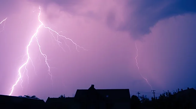
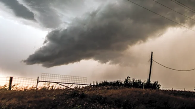
Southeastern parts of South Dakota, including the Sioux Falls area, are under a First Alert Weather Day due to a returning threat of severe weather. A Level 2 of 5 severe weather threat has been highlighted for locations east of the Missouri River, with
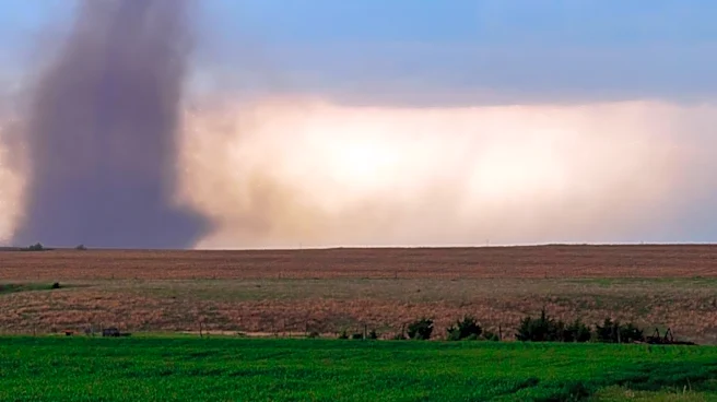
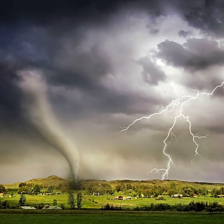
a broader Level 1 threat covering much of the area. Storm development is anticipated to begin in the late afternoon hours and could persist into the overnight hours of Tuesday morning. The primary concerns are large hail and strong wind gusts, though an isolated tornado cannot be ruled out, particularly in the far southeastern regions. Residents are advised to remain weather-aware and follow updates from the First Alert Weather Team. Another opportunity for showers and thunderstorms is expected on Tuesday, with areas along and south of I-90 being particularly susceptible to strong winds and large hail late in the day and into the evening.
Why It's Important?
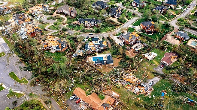
The recurring severe weather threat poses significant risks to public safety and property in southeastern South Dakota. Large hail can cause extensive damage to vehicles, homes, and agricultural crops, leading to substantial financial losses for individuals and businesses. Strong wind gusts can result in downed power lines, structural damage, and disruptions to transportation and communication infrastructure. The potential for isolated tornadoes, though less certain, carries the highest risk of catastrophic damage and loss of life. For the agricultural sector, which is vital to South Dakota's economy, severe weather events can devastate crops and livestock, impacting livelihoods and regional food supply chains. The need for continuous weather monitoring and preparedness places a burden on emergency services and local governments, requiring resources for public alerts, potential evacuations, and post-storm recovery efforts. Businesses may experience operational interruptions, and residents face the stress and cost of preparing for and recovering from severe weather.
What's Next?
Residents in the affected areas are urged to stay informed through local weather updates and to have a severe weather plan in place. The First Alert Weather Team will continue to provide real-time information as the storm system develops. Following Tuesday's weather, a slight chance of rainfall is forecast for Wednesday and possibly Thursday, accompanied by cooler temperatures, with highs dropping to the 70s for most of the area. Temperatures are expected to gradually warm back into the 80s towards the weekend, with isolated rain chances on Friday. Emergency services will remain on alert to respond to any incidents caused by the severe weather. Local authorities may issue further advisories or warnings as conditions evolve, emphasizing the importance of immediate action if a tornado warning is issued.
Beyond the Headlines
The frequent occurrence of severe weather events in regions like South Dakota highlights broader climate patterns and the increasing need for resilient infrastructure and community preparedness. The economic impact extends beyond immediate damage, affecting insurance markets, property values, and long-term planning for agricultural and urban development. Communities may need to invest more in weather-resistant building codes and early warning systems. Furthermore, the psychological toll on residents who repeatedly face threats of severe weather can be significant, leading to increased anxiety and stress. The reliance on local weather teams and emergency services underscores the critical role of public information and coordinated response efforts in mitigating the human and economic costs of such natural phenomena. This situation also prompts discussions about climate change adaptation strategies and the role of federal and state governments in supporting affected communities.