



What's Happening?
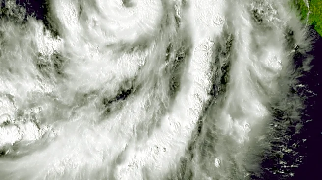
Florida is preparing for a week of persistent heavy rain and gusty winds, impacting millions across the state through the upcoming weekend. A weather disturbance moving across the Gulf of America is trapping moisture over Florida, leading to continuous
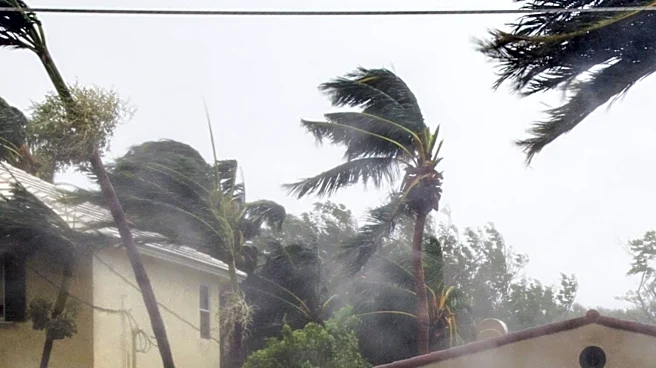
showers and heavy rainfall. The FOX Forecast Center indicates that the highest chances for rain and storms are concentrated along Florida's east coast, with widespread rainfall totals expected to reach 4 to 6 inches, and localized areas potentially exceeding 8 inches. This weather pattern is creating a coastal flood threat similar to conditions experienced around Halloween, driven by a tightening pressure gradient between high pressure in the north and low pressure in the south, which strengthens winds across the Florida Peninsula.
Why It's Important?
This prolonged period of severe weather poses significant risks to Florida's infrastructure, economy, and public safety. The potential for widespread flooding, especially along the east coast, can disrupt daily life, damage property, and strain emergency services. Industries such as tourism and agriculture, vital to Florida's economy, are particularly vulnerable to extended periods of inclement weather. Dangerous rip currents and rough waves along the Atlantic Coast will threaten beachgoers and marine activities. The repeated flooding events, as noted by the comparison to Halloween's conditions, highlight an ongoing challenge for the state in managing water levels and protecting coastal communities from increasingly frequent and intense weather phenomena. This situation underscores the need for robust flood mitigation strategies and resilient infrastructure.
What's Next?
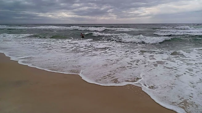
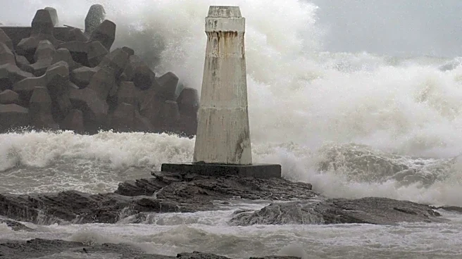
The wet and windy conditions are expected to persist throughout the week, with a possibility of extending into the weekend. The main concern for meteorologists is along the state's Atlantic Coast, where continuous onshore winds could generate rough waves and dangerous rip currents. A high rip current risk is currently in effect for areas including Melbourne, Stuart, Daytona Beach, Titusville, Fort Pierce, and Vero Beach through Wednesday. The National Weather Service has issued a Level 2 out of 4 flash flood threat from Tuesday through Friday due to repeated rounds of showers and heavy rain. This pattern suggests that Florida will remain under a significant weather threat for several more days, requiring residents to stay vigilant and prepared for potential flooding and hazardous coastal conditions.
Beyond the Headlines
The recurring severe weather in Florida, characterized by heavy rains and coastal flooding, points to deeper issues related to climate change and urban development. The state's low-lying geography and extensive coastline make it particularly susceptible to rising sea levels and more intense storm surges. This situation could accelerate discussions on managed retreat from vulnerable coastal areas, stricter building codes, and significant investments in climate adaptation infrastructure. The economic burden of repeated storm damage and recovery efforts could impact state budgets and property insurance markets, potentially leading to higher premiums or reduced coverage options. Socially, these events can disproportionately affect lower-income communities, which may have fewer resources to recover from flooding and displacement, raising questions of environmental justice and equitable resilience planning.