


What is the story about?
What's Happening?
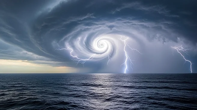
Tropical Storm Jerry has formed over the central Atlantic Ocean and is expected to strengthen into a hurricane by Wednesday. As the 10th named storm of the season, Jerry currently has sustained winds of 50 mph and is moving west-northwest. A tropical storm watch has been issued for several islands, including Barbuda and Antigua, indicating possible sustained winds of 39 to 73 mph within 48 hours. The storm is forecast to intensify into a Category 2 hurricane as it passes east of Bermuda over open water. Jerry is not expected to threaten the mainland United States due to a cold front that will deflect it out to sea.
Why It's Important?
The formation of Tropical Storm Jerry highlights the active hurricane season in the Atlantic, which has already seen three hurricanes in just over two weeks. While Jerry is not expected to impact the U.S. mainland, its development underscores the importance of monitoring late-season storms that can form in the Gulf and Caribbean, regions closer to land with a higher potential for dangerous impacts. The storm's progression will be closely watched by meteorologists and emergency management officials, as it could affect islands in the Atlantic and pose risks to maritime activities.
What's Next?
Meteorologists will continue to track Tropical Storm Jerry's path and intensity, providing updates to affected regions. The storm is expected to become a Category 2 hurricane by the weekend, with potential impacts on islands in its path. Additionally, forecasters are monitoring a weather pattern in the western Caribbean that could generate late-season storms. The favored areas for tropical storm formation in October include the Gulf, Caribbean, and western Atlantic, and any developments will be closely observed for potential impacts.