






What's Happening?
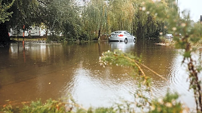
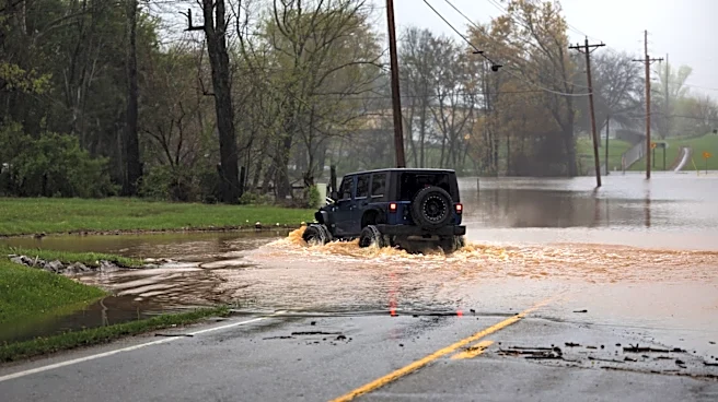
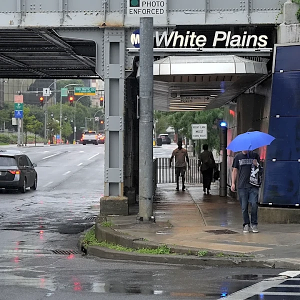
A severe thunderstorm warning has been issued for parts of western and central Massachusetts, with potential for localized flooding. The warning, effective from 1:30 p.m. to 2:30 p.m., comes as a slow-moving storm system is expected to bring heavy rain
and possible storms to the region through Wednesday. The heaviest rain is anticipated in eastern Massachusetts and Connecticut, with some areas potentially receiving two to three inches of rain. A flood watch is in effect, and residents are advised to remain vigilant for flash flooding. The storm is expected to move out by Thursday, with drier weather forecasted for the weekend.
Why It's Important?
The severe weather warning highlights the ongoing challenges posed by extreme weather events, which can disrupt daily life and pose risks to public safety. The potential for flooding underscores the importance of preparedness and the need for effective emergency response systems. For residents and businesses, the storm could lead to property damage and transportation disruptions. The situation also serves as a reminder of the broader impacts of climate change, which is expected to increase the frequency and intensity of such weather events. Authorities and communities must continue to adapt and strengthen resilience against these challenges.