
What's Happening?
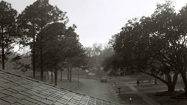
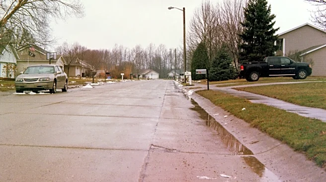
Houston is currently experiencing a period of heavy rain that is expected to continue through the weekend. This weather pattern is attributed to a stalled front that is slowly moving offshore. The heaviest
rainfall is anticipated along the coast and areas south of Interstate 10. A Fox 26 Storm Alert has been issued and remains in effect through Saturday due to these conditions. Despite the current wet weather, there is no tropical activity expected in the Atlantic basin over the next seven days, marking a quiet season with only eight tropical storms and no hurricanes to date. However, the warm waters in the Gulf of Mexico are being closely monitored.
Why It's Important?
The ongoing heavy rainfall in Houston carries significant implications for local residents and infrastructure. Potential flooding, particularly in coastal areas and regions south of Interstate 10, could disrupt daily life, impact transportation, and pose risks to property. Businesses reliant on foot traffic or outdoor operations may experience reduced activity. The Fox 26 Storm Alert highlights the immediate need for residents to stay informed and take necessary precautions. While the lack of tropical activity in the Atlantic is a positive development, the continued monitoring of warm Gulf waters is crucial, as these conditions can rapidly lead to the formation of tropical systems, posing future threats to the region.
What's Next?
The unsettled weather pattern is projected to begin easing early to midweek as the slow-moving front finally moves through the area. Following this, Houston can anticipate a welcome change to slightly cooler and drier weather. Wake-up temperatures are expected to be in the upper 60s to low 70s, providing a break from the persistent rain. Residents should continue to monitor local weather updates for any changes to the forecast, especially regarding the timing of the front's departure and the onset of drier conditions. Emergency services and local authorities will likely remain vigilant for any lingering effects of the heavy rainfall.
Beyond the Headlines
The recurring nature of significant weather events in Houston, such as heavy rainfall and the constant threat of tropical systems, underscores the broader challenges faced by coastal U.S. cities in adapting to climate patterns. The city's infrastructure, including drainage systems and transportation networks, is continually tested by these events. The ongoing monitoring of Gulf waters, even during quiet tropical seasons, reflects a long-term strategy for preparedness and resilience. This situation highlights the critical role of local meteorologists and emergency management agencies in providing timely information and guidance to the public, fostering a culture of readiness in a region highly susceptible to weather-related impacts.