Thru-hiking is an epic endeavor. Backpackers who thru-hike take on incredibly long hiking journeys, planning to travel hundreds if not thousands of miles on foot, using only what they can carry on their
backs, and mostly avoiding civilization for weeks to months at a time. Even if you're not a thru-hiker, you have probably heard of the popular and potentially dangerous Pacific Crest Trail that runs from the Canadian border to the Mexican border and the world-famous rugged but incredible Appalachian Trail that crisscrosses an incredible 14 states on the East Coast. There's one, brand new route that you may not have heard of however: the xTx, or Cross Texas Trail. As the name implies, this unbelievable journey takes backpackers across the enormous Lone Star State lengthwise.
Crossing a single state might not sound like quite as serious an undertaking as hiking across an entire country, but don't let that mislead you. The Cross Texas Trail is 1,500 miles. While this trail is not an officially established route just yet, the nonprofit xTexas is looking to change that. It's more of an idea that has caught the attention of adventurous hikers. The group is looking to have more people test out the route for themselves and report back about their experiences, so if you decide to challenge yourself to get in on the ground floor (or in this case, the dusty trail) of this thru-hike and explore the route for yourself, there is a community of avid hikers, cyclists, and horseback riders who would be thrilled to hear about your progress.
Read more: The 5 Best Parks Where You Can See Bison Roam (Other Than Yellowstone), According To Visitors
What Can You See When Thru-Hiking The Proposed xTx Route?
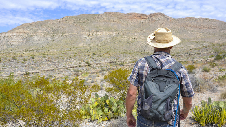
While the Cross Texas Trail is not fully established yet, the trails and roads that it's supposed to include already exist. That means that anyone who wants to can already explore the xTx, if they're willing to rough it even more than you would usually while thru-hiking. The proposed route starts on the border between Texas and Louisiana in the city of Orange. From there, you will see small towns, fascinating bayou ecosystems, and some rolling hills. After about 365 miles on the trail, you will start to see the landscape shift and change around you. Approaching Canyon Lake, the flat marshy landscape starts to transform into rugged cliffs.
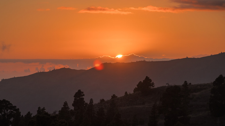
From there, hikers will see the rushing waters of the Guadalupe River, the historic Bandera Pass, and the flat white cliffs and turquoise waters of the Devils River Natural Area. Afterwards, hikers will enter the remote and beautiful Big Bend National Park, and take in some of the most gorgeous landscapes in the country. At this point, travelers have almost reached the end of the trail. Here, xTx trekkers will encounter one of the best hikes in Texas -- the awe-inspiring hike to the state's tallest mountain: Guadalupe Peak. The xTx ends in the city of El Paso, where hikers can appropriately celebrate their journey's end with a breathtaking sunset.
Ready to discover more hidden gems and expert travel tips? Subscribe to our free newsletter for access to the world's best-kept travel secrets.
Read the original article on Islands.